Georgia County Map: From the Blue Ridge Mountains to the Atlantic Ocean, Georgia is a state full of diverse landscapes, rich history, and unique culture. Our Georgia county map with cities will help you discover it all. With detailed information about all 159 counties and their cities, our map is the perfect tool for planning your next road trip or exploring new destinations.
Check out our other County Maps:
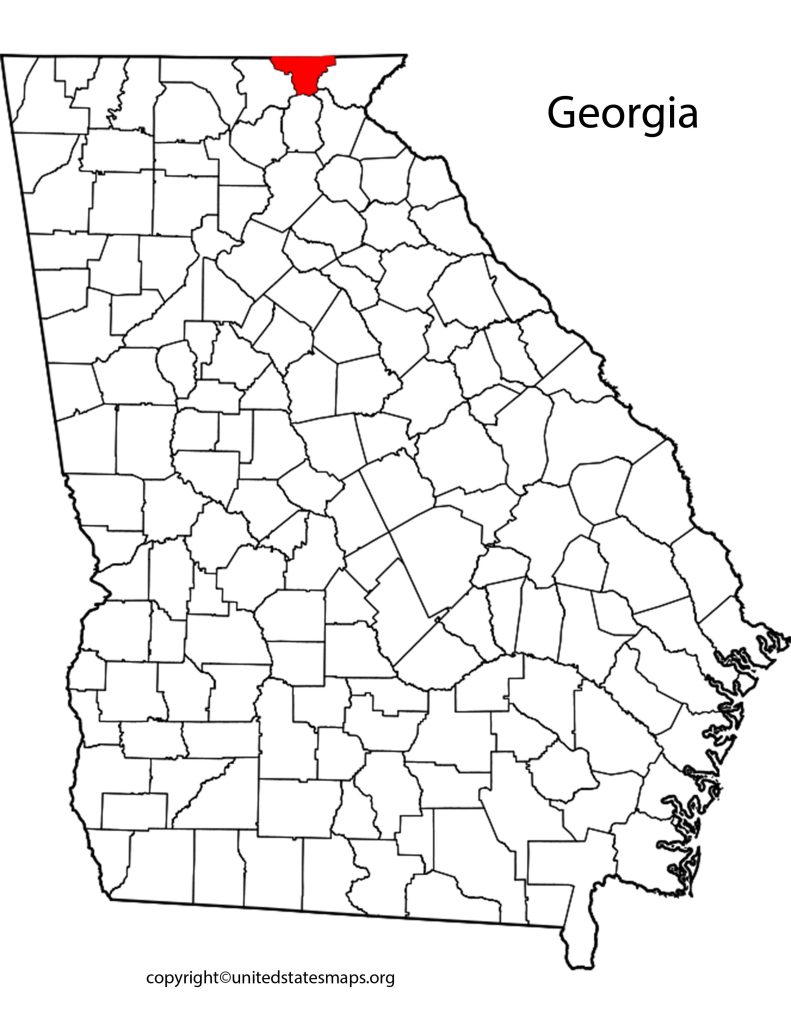
Georgia County Map
Georgia is a state that is rich in history, culture, and natural beauty. The Georgia Counties Map is an excellent tool for exploring the state’s diverse regions and learning about its many unique communities. This map provides a comprehensive guide to the 159 counties of Georgia, highlighting their individual features and attractions.
From the rolling hills of North Georgia to the sandy beaches of the coast, each county offers something different, making it easy for travelers to find something that suits their interests. Whether you’re looking for outdoor adventures or cultural experiences, there is plenty to discover on this map. With detailed information about each county’s history, geography, and demographics, visitors can gain a deeper understanding of what makes each region special.
In addition to being a useful tool for tourists and visitors looking to explore Georgia’s many attractions, the Georgia Counties Map can also be helpful for those who are planning trips within the state.
A Georgia County Map is a geographical representation of the 159 counties in the state of Georgia, located in the southeastern part of the United States. The map depicts the boundaries of each county and provides a clear view of the state’s diverse geography, from the coastal plains to the Blue Ridge Mountains. This map is an essential tool for anyone looking to navigate through Georgia and explore its many regions.
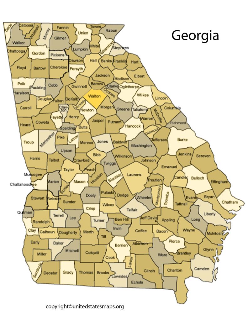
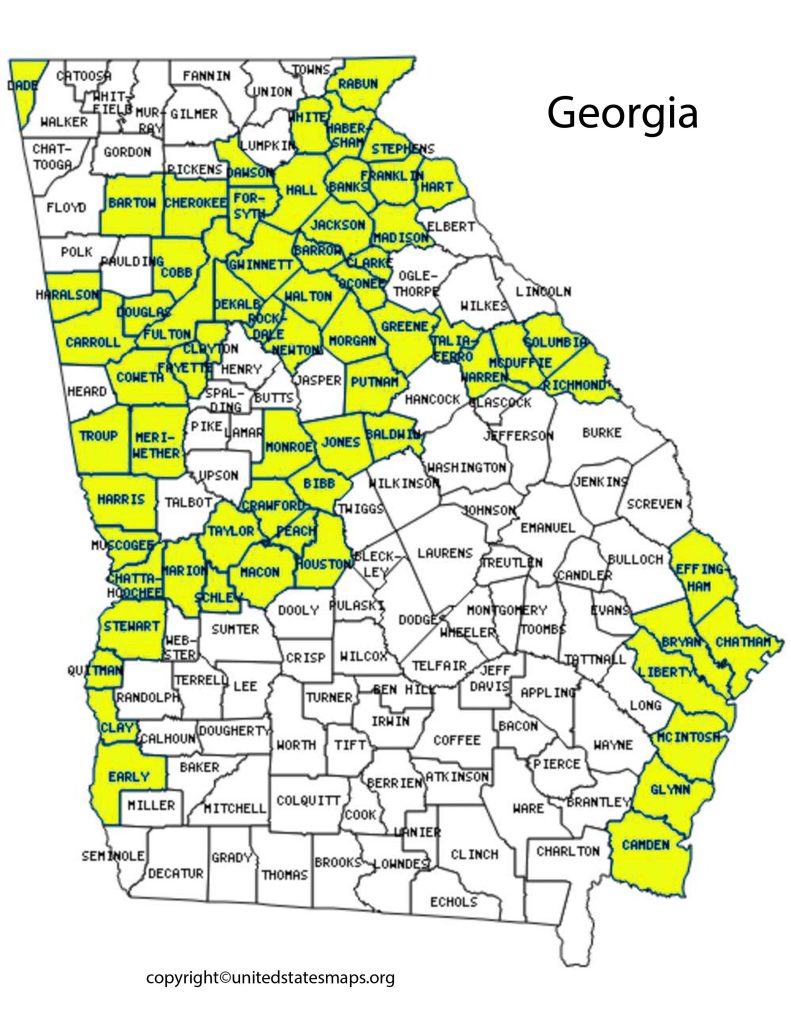
County Map of Georgia
The Map of Georgia Counties is a visual representation of the 159 counties that make up this great state. From the bustling city of Atlanta to the serene countryside, each county has its own unique culture and history. The map not only shows the location of each county but also provides valuable information about their economies, demographics, and attractions.
When looking at the Map of Georgia Counties, it’s clear that there are diverse landscapes and communities scattered throughout the state. In North Georgia, you’ll find mountainous terrain with small towns known for their wineries and outdoor activities like hiking and fishing. Moving down towards central Georgia, there are more metropolitan areas like Macon and Columbus where you’ll find thriving industries such as healthcare, logistics, and manufacturing.
If you’re planning a trip to Georgia or just want to learn more about this beautiful state, studying the Map of Georgia Counties is an excellent place to start.
The County Map of Georgia is a detailed illustration of the state’s counties, showcasing their boundaries, county seats, and other significant features. Georgia is home to 159 counties, each with its unique cultural, historical, and economic significance. This map provides an overview of each county’s size, location, and neighboring counties, making it a useful tool for both residents and visitors to Georgia.
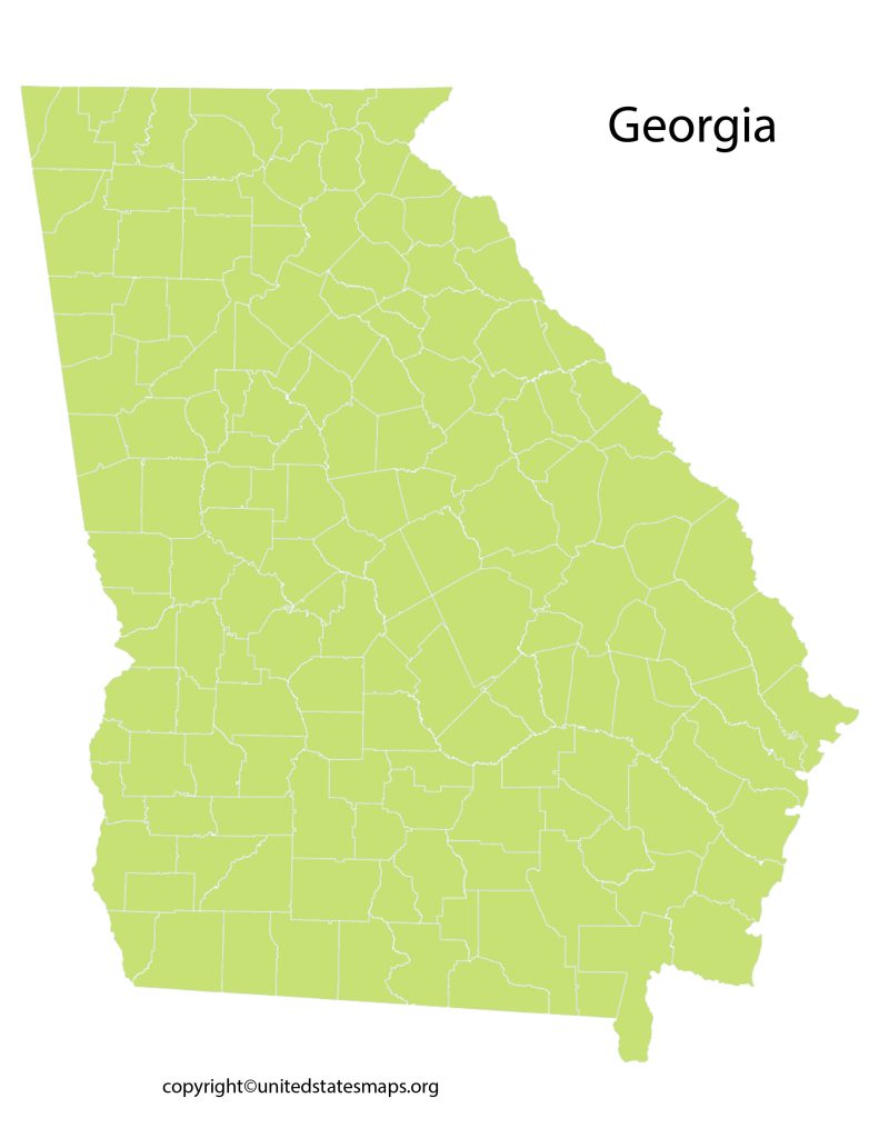
Map of Counties in Georgia
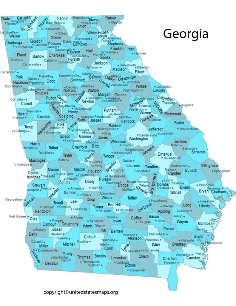
Georgia is a stunning state with numerous cities and counties that make it a hub of culture, history, and business. A Georgia County Map with Cities can be an invaluable tool for anyone who wants to navigate this great state. But this map provides detailed information about the counties in Georgia and their cities, making it easy to find your way around.
The County and City Map of Georgia includes critical details such as county boundaries, county seats, population density, major highways, waterways, parks among other geographical features. With this map at your disposal, you can easily identify the location of various cities in the state and plan your travel accordingly. From Atlanta to Savannah or Augusta to Columbus: wherever you are headed in Georgia; having access to this map will help you get there easier.
A Map of Counties in Georgia is a comprehensive visual representation of the state’s 159 counties, located in the southeastern region of the United States. This map is a valuable resource for anyone looking to learn about the state’s county divisions and the location of each county’s seat. The map is particularly useful for researchers, policymakers, and tourists interested in exploring the state’s diverse geography and cultural heritage.