Alabama County Map: Discover the Heart of Dixie with our Alabama county map featuring all 67 counties and their cities. From the Gulf Coast to the Appalachian Mountains, Alabama is a state full of natural beauty, historic landmarks, and unique culture. Our map is the perfect tool for planning your next road trip, exploring new destinations, and discovering what makes Alabama so special.
Check out our other County maps:
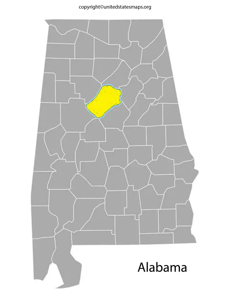
Alabama County Map
The state of Alabama is located in the southeastern region of the United States and is the 24th most populous state in the country. Alabama is divided into 67 counties, each with its own unique history and culture. A map of Alabama’s counties is an essential tool for anyone who needs to navigate or understand the state’s geography.
A map of counties in Alabama is an essential tool for anyone who needs to understand the state’s political and administrative landscape. The counties of Alabama are the building blocks of the state’s governance and public services, and a map of counties in Alabama can help you understand how these services are distributed. Whether you’re a resident of the state or a visitor, a map of counties in Alabama can help you explore the state’s many attractions and natural wonders.
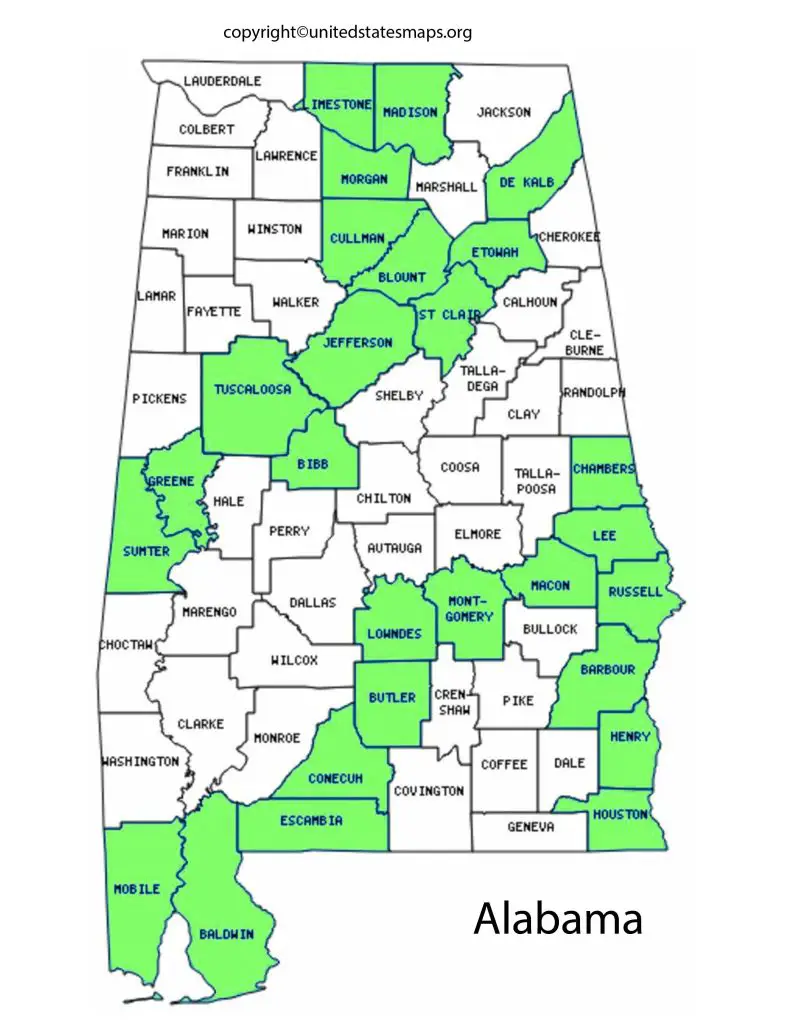
An Alabama county map with cities is a detailed guide to the state’s political and administrative landscape. The counties of Alabama are home to many of the state’s largest and most vibrant cities, such as Birmingham, Montgomery, and Mobile. An Alabama county map with cities can help you understand the distribution of these urban centers and the many services they provide. It can also help you plan your travels and explore the state’s diverse cultural and natural offerings.
One of the most useful features of the County Map of Alabama is its clear labeling of major highways and interstates. This makes it easy to plan routes and avoid getting lost while driving through unfamiliar areas. In addition, the map also highlights state parks, national forests, and other natural landmarks that are popular destinations for outdoor enthusiasts. Another benefit of using a county map is that it helps you find local businesses and services in your area.
County Map of Alabama
A map of Alabama counties is a valuable resource for anyone who needs to navigate the state’s roads, towns, and cities. Alabama’s county system is a fundamental aspect of the state’s governance and public services, and a map of Alabama counties can help you understand how these services are distributed. A map of Alabama counties can also help you plan your travels and explore the state’s diverse natural beauty.
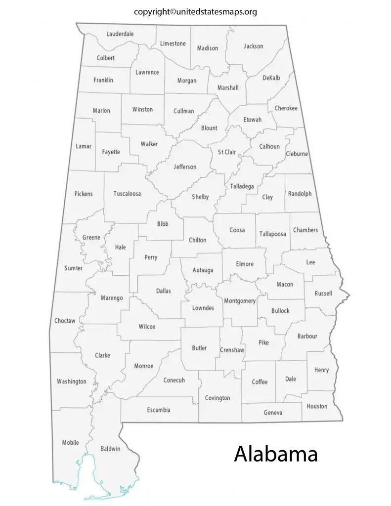
The County Map of Alabama is an essential tool for anyone living in or traveling through the state. With 67 counties spanning over 50,000 square miles, it can be difficult to navigate without a detailed map. Whether you’re looking for the nearest city or trying to plan a road trip, an accurate and up-to-date county map will make your journey much smoother.
An Alabama map by county is an excellent resource for anyone who wants to explore the state’s geography and culture. The counties of Alabama are diverse, ranging from rural agricultural regions to bustling urban centers. An Alabama map by county can help you understand the distribution of these cultural and geographical features, as well as the political and administrative landscape of the state. Whether you’re a resident of the state or a visitor, an Alabama map by county can help you plan your travels and explore the state’s many attractions and natural wonders.
A county map of Alabama provides a detailed overview of the state’s political and administrative divisions. The counties of Alabama are the building blocks of the state’s governance and public services. Each county has its own elected officials, such as sheriffs, judges, and commissioners, who are responsible for delivering services to their residents. A county map of Alabama can help you understand the distribution of these services and the political landscape of the state.
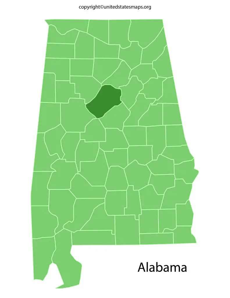
Alabama Map with Counties
Alabama is the 30th largest state in the United States, and it has a unique geography that ranges from coastal plains to mountainous regions. If you’re planning to explore Alabama at length, understanding its county map is crucial. The Alabama Map with Counties provides an excellent guide for navigating through different parts of the state.
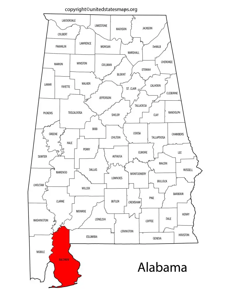
The Alabama Map with Counties features 67 counties spread across two main regions – Northern and Southern. Each county has its own history, culture and beauty to offer visitors. For instance, Baldwin County located along the Gulf Coast offers stunning beaches while Madison County boasts of numerous parks and nature reserves.
Moreover, if you’re looking for historical sites or cultural landmarks to visit, the Alabama Map with Counties will make it easier for you to locate them.
An Alabama counties map is a comprehensive guide to the state’s administrative divisions. The counties of Alabama are diverse, ranging from rural agricultural regions to urban centers. Each county has its own unique culture, history, and traditions. An Alabama counties map can help you understand the distribution of these cultural and geographical features, as well as the political and administrative landscape of the state.