Looking for a free Blank Map of USA? Printable blank maps are available in PDF, PNG, and JPG formats for school projects, geography lessons, state quizzes, and classroom activities. These maps include the outline of the United States with or without state lines for students and teachers to label the states, mark capitals, identify regions, and practice map reading.
Printable maps below can be used for education, homeschooling, planning trips, and reference – it’s easy to learn and explore the geography of the United States.
Why Use a Blank Map of the USA?
A Blank United States Map is one of the easiest ways to learn the geography of the country. Students can practice state identification, teachers can create worksheets, and homeschool educators can design engaging geography activities.
Popular uses include:
- Learning all 50 U.S. states
- Practicing state capitals
- Geography homework and assignments
- Classroom quizzes and tests
- Homeschool lessons
- Regional map activities
- Travel planning and route marking
Types of Blank US Maps
Choose the map that best fits your needs:
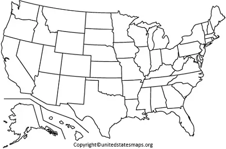
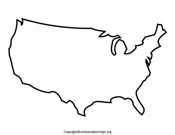
Blank US Outline Map
Shows only the outline of the United States and is ideal for labeling exercises and geography quizzes.
Displays state boundaries without state names, making it perfect for state identification practice.
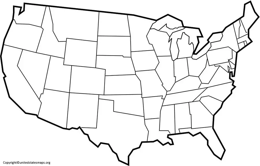
Blank Political Map of the USA
Shows political boundaries and state borders without labels.
Blank US Map Worksheet
Designed for classroom activities, state quizzes, and educational projects.
Blank Map of USA Worksheet Ideas
Teachers and parents can use printable blank maps for a variety of activities:
- Label all 50 states
- Write state capital names
- Practice state abbreviations
- Color different U.S. regions
- Identify neighboring states
- Mark major rivers and lakes
- Complete geography quizzes
These activities help students learn faster while making geography more engaging.
Related US Maps
- US Map with Capitals
- Interactive US map
- Geographical Map of USA
- Road Map of US
- America Time Zone Map
- Map of the Southeast US
US Regions Practice
The United States is commonly divided into four major regions:
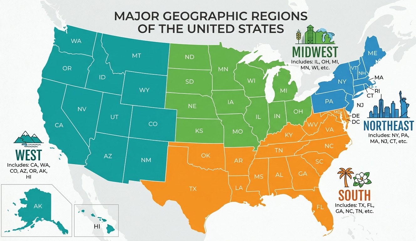
Northeast
Maine, New York, Pennsylvania, Massachusetts, New Jersey, and neighboring states.
Midwest
Ohio, Illinois, Michigan, Wisconsin, Minnesota, Iowa, and surrounding states.
South
Texas, Florida, Georgia, Tennessee, Alabama, Louisiana, and nearby states.
West
California, Washington, Oregon, Nevada, Arizona, Colorado, Alaska, and Hawaii.
Understanding these regions helps students learn how states are grouped geographically.
Benefits of Using a Printable Blank Map of the USA
- Easy to download and print
- Ideal for students and teachers
- Supports geography learning
- Useful for quizzes and worksheets
- Helps memorize state locations
- Great for homeschooling activities
- Available in PDF, PNG, and JPG formats
FAQs Blank map of the USA quiz
Q. What is a Blank Map of the USA?
A. A Blank Map of the USA is an unlabeled map that shows the outline of the United States with or without state boundaries.
Q. Can I print a Blank US Map?
A. Yes. Printable Blank US Maps can be downloaded in PDF, PNG, and JPG formats.
Q. How do students use blank maps?
A. Students use blank maps to label states, capitals, rivers, regions, and other geographical features.
Q. What is the difference between a Blank Map and an Outline Map?
A. An outline map usually shows only boundaries, while a blank map may also include state borders without labels.
Q. Why are Blank US Maps useful?
A. They help students, teachers, and homeschool educators learn geography through hands-on practice and map activities.
Q. Does a Blank Map of the USA include all 50 states?
A. Yes, most blank maps include all 50 states, including Alaska and Hawaii.
Q. Is a Blank US Map useful for homeschooling?
A. Yes, blank maps are widely used for homeschooling activities and geography lessons.
Q. Can I use a Blank Map of the USA for quizzes?
A. Yes, teachers frequently use blank maps for state identification and capital quizzes.