Blank Tennessee Map: Tennessee is a state located in the southeastern region of the United States, known for its rich musical heritage and stunning natural beauty. A blank map of Tennessee is a great tool for anyone interested in exploring this state in greater detail. With a blank map, you can easily identify key cities, rivers, and other features that make Tennessee a truly unique place.
Check our other related blank maps:
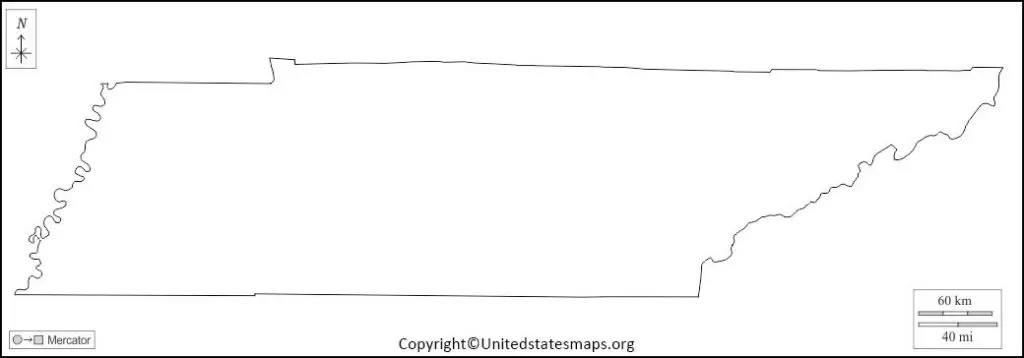
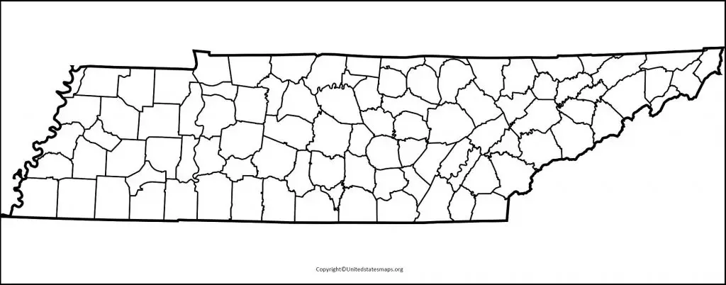
Blank Tennessee Map
Tennessee is a state in the US southern area. It is surrounded by eight other states, making it a great transit and trade centre. Nashville is the state capital, and significant cities include Memphis, Knoxville, and Chattanooga. A blank map of Tennessee is a useful tool for learning about the state’s geography and distinct areas. It may also be used for educational reasons, such as educating youngsters about Tennessee’s counties and cities. A blank map allows you to fill in the different regions and cities on your own, making it an interactive learning experience.
The Great Smoky Mountains National Park is located in eastern Tennessee and is a popular tourist destination. The park is home to diverse wildlife, including black bears, elk, and wild turkeys. Another popular tourist attraction is Graceland, the home of Elvis Presley, located in Memphis. The Tennessee River runs through the state, providing ample opportunities for water activities and outdoor recreation. The state is also home to several important Civil War battlefields, such as Shiloh and Chickamauga.
A blank Tennessee map can also be useful for planning road trips or for business purposes. The state has a strong economy, with major industries including agriculture, manufacturing, and healthcare. The state is known for its production of country music, and several major record labels are located in Nashville. Whether you are a student, a tourist, or a business professional, blank maps of Tennessee is a great tool to help you learn more about the state and its different regions.
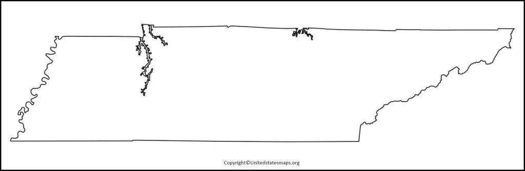
Tennessee Blank Map Worksheet
A blank map worksheet of Tennessee is a great way to help students learn about the different regions and counties in the state. The worksheet can used for educational purposes in the classroom, as a homework assignment, or as a fun activity for kids to do at home. The worksheet can also used by adults who want to learn more about the geography and different areas of the state. The worksheet provides a blank map of Tennessee, with space to fill in the different counties and major cities.
The Tennessee blank maps worksheet can used in combination with other educational materials, such as textbooks, maps, and videos. The worksheet can help students learn about the different regions of the state, such as the Great Smoky Mountains, the Cumberland Plateau, and the Mississippi River Valley. It can also used to teach students about the state’s history, such as the important role it played in the Civil War and its role in the Civil Rights Movement.
The Tennessee blank map worksheet can customized to fit the needs of different students and teachers. It can used for different grade levels, and the level of difficulty can adjusted based on the students’ abilities. The worksheet can also used as a group activity, with students working together to fill in the different regions and cities of Tennessee.
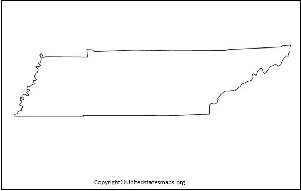
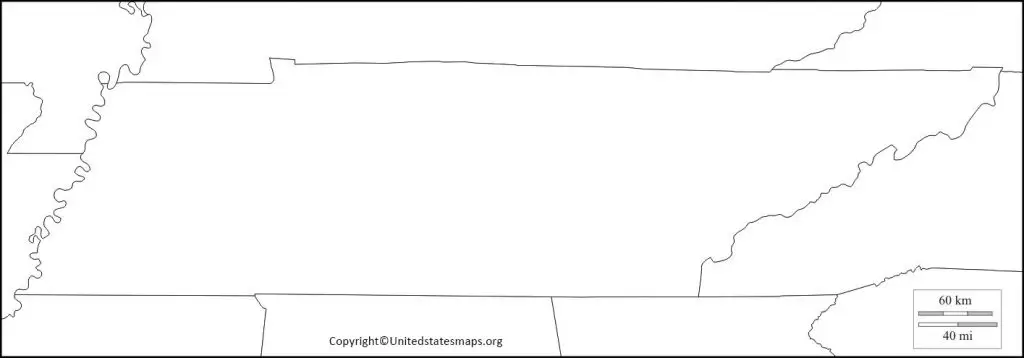
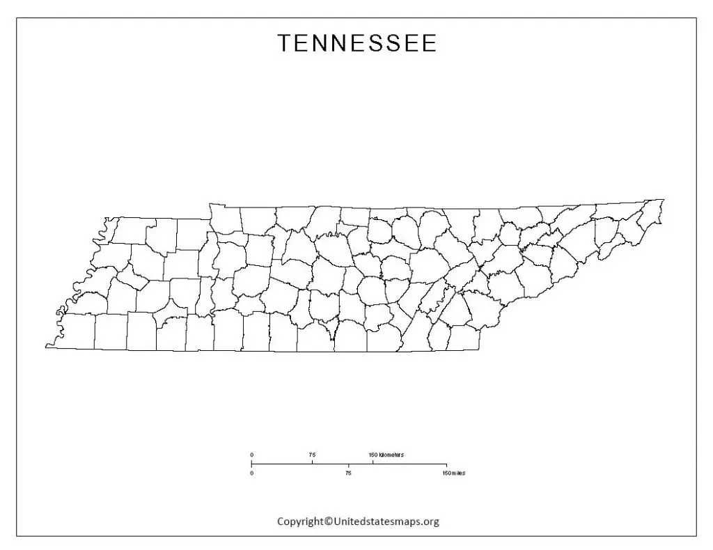
Printable Map of Tennessee
A Tennessee printable map is a great resource for tourists, students, and professionals. The map can used for educational purposes, for planning a trip, or for business purposes. The map provides detailed information about the different regions of the state, such as major highways, cities, and national parks. It can printed out in different sizes and formats, making it easy to use for different purposes.
The printable maps of Tennessee is also a useful tool for planning a trip to the state. It can help tourists plan their route and find interesting places to visit along the way. The map provides information about the different regions of the state, such as the Great Smoky Mountains, the Mississippi River Valley, and the Cumberland Plateau. But it can also used to find information about hotels, restaurants, and other attractions in the state.
The printable map of Tennessee can also used for business purposes. The state has a strong economy, with major industries including agriculture, manufacturing, and healthcare. But the map can used by business professionals to identify potential areas for expansion, such as major transportation hubs or areas with a high concentration of businesses in their industry. And then the map can also help businesses identify potential customers or clients in different regions of the state.