Blank Mississippi Map: Mississippi is a state located in the southern region of the United States, known for its rich history, culture, and music. The state is bordered by the Mississippi River to the west, and the Gulf of Mexico to the south. A blank map of Mississippi provides an opportunity to study and explore the state’s various regions and cities, such as Jackson, Biloxi, and Gulfport, as well as its unique natural features, including the Mississippi Delta and the Natchez Trace Parkway.
Check our other related blank maps:
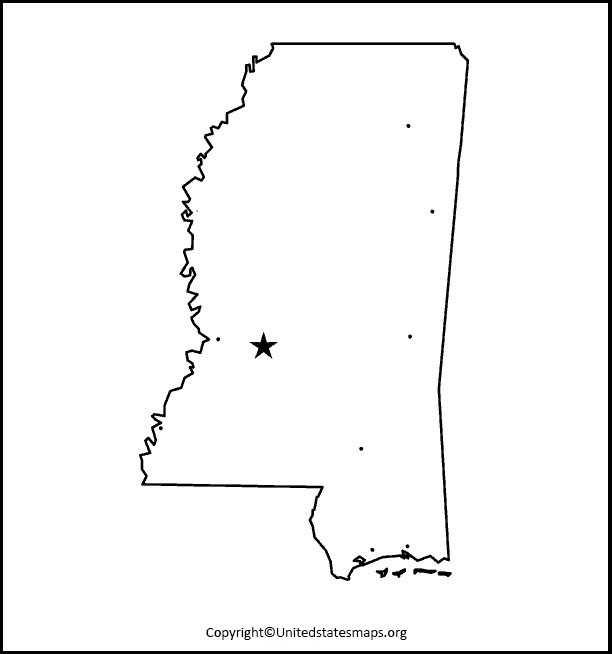
Blank Mississippi Map
A Mississippi blank map is a valuable tool for educators, students, and anyone interested in learning more about the geography of the state. By providing a visual representation of the state’s borders, cities, and natural features, a blank map can help users better understand the state’s layout and topography. It can be used for a variety of purposes, such as classroom activities, travel planning, and personal research projects.
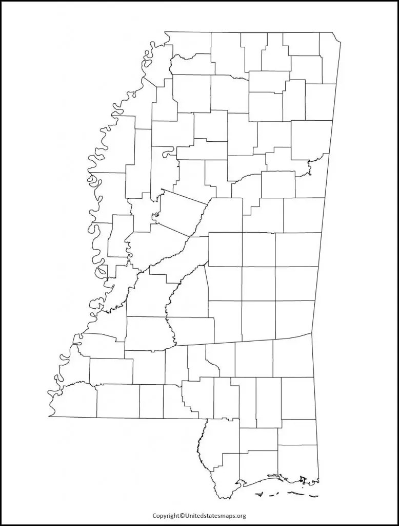
The blank map of Mississippi can also used to teach important geographic concepts, such as map reading and spatial awareness. By asking students to label cities, rivers, and other features on the map, educators can help students develop a better understanding of the state’s geography. Additionally, a blank map can serve as a useful reference tool for anyone looking to locate specific cities or landmarks within Mississippi.
One of the benefits of a blank maps of Mississippi is that it can customized to suit individual needs. Users can add their own labels and annotations to the map, making it a more personalized and useful tool. It can also printed in various sizes and formats, allowing users to create a map that is perfectly suited to their needs.
Overall, a blank Mississippi map is a useful and versatile tool for anyone looking to learn more about the state’s geography. Whether you are a student, educator, or traveler, a blank map can provide a valuable visual representation of Mississippi’s layout and topography.
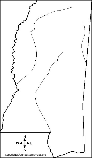
Mississippi Blank Map Worksheet
A blank map of Mississippi worksheet is a valuable tool for educators looking to engage their students in hands-on learning activities. By providing a blank map of the state and asking students to label cities, rivers, and other features, educators can help students develop a better understanding of Mississippi’s geography. This type of activity is also a great way to reinforce important concepts such as map reading and spatial awareness.
In addition to being a fun and engaging activity, a Mississippi blank maps worksheet can also serve as a useful reference tool for students. By completing the worksheet and adding their own labels and annotations to the map, students can create a personalized visual representation of the state’s geography. This can a helpful resource for future assignments or projects that require a thorough understanding of Mississippi’s layout and topography.
Another benefit of a blank map Mississippi worksheet is that it can customized to suit individual needs. Educators can choose to include specific cities, rivers, or other features on the map, depending on the focus of the lesson or activity. Additionally, the worksheet can printed in various sizes and formats, making it a versatile tool for a variety of classroom settings.
Overall, a Mississippi blank map worksheet is a valuable resource for educators looking to engage their students in hands-on learning activities. By providing a visual representation of the state’s geography and encouraging students to label and annotate the map, educators can help students develop a better understanding of Mississippi’s layout and topography.
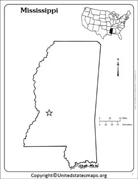
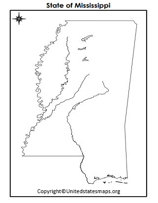
Printable Map of Mississippi
A Mississippi printable map is a useful tool for anyone looking to explore the state’s geography. By providing a visual representation of the state’s layout and topography, a printable map can help travelers plan their routes and identify points of interest. It can also a helpful resource for researchers or students looking to learn more about the state’s geography.
One of the benefits of a printable maps of Mississippi is that it can customized to suit individual needs. Users can choose to print the map in various sizes and formats, depending on their specific needs. For example, a larger map may useful for planning a road trip, while a smaller map may more convenient for reference purposes.
Another advantage of a printable map of Mississippi is that it can easily shared with others. Whether you are planning a trip with friends or collaborating on a research project, a printable map can serve as a helpful visual aid. It can also useful in group settings, such as classrooms or community organizations, where multiple people may need to reference the map at the same time.
Printable maps of Mississippi are available in a variety of formats, including road maps, topographical maps, and tourist maps. Each type of map provides a unique perspective on the state’s geography and can useful for different purposes. For example, a road map may more useful for planning a driving route, while a topographical map may more helpful for outdoor enthusiasts looking to explore Mississippi’s natural features.