The Blank Map of USA can be downloaded from the below images and be used by teachers as a teaching/learning tool. We offer several Blank US Maps for various uses. The files can be easily downloaded and work well with almost any printer. Teachers can use blank maps without states and capitals names and can be given for activities to students. Researching state and capital names by students will be an easy fun going task for students and in this way, they can easily learn the states and capitals names and locations on the map.
- US Voting Map
- US Climate Map
- US Pipeline Map
- Coronavirus US Map
- US Senate Map
- US Map with Capitals
- Interactive US map
- Map of southeast US
- Road Map of US
- Geographical Map of USA
- US surface Weather Map
- America Time Zone Map
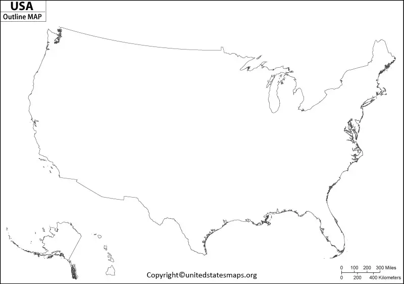
Blank Map of USA
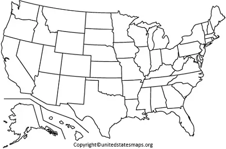
Looking for a free printable Blank US Map? We offer different US blank maps for downloading and using for teaching and another reference. Print as maps as you want and use it for students, teachers, and fellow teachers and friends. Click on the map to print a colorful map and use it for teaching, learning. The blank US map could be used for the location of the 50 states and students learning in school can easily learn and by downloading these maps can get easy access to the location.
Printable Map of USA
The Blank US map can be downloaded and be used as an outline for the US. The 50 states and their capitals can be outlined and be used by students in school for the learning purpose and their fellow students. The printable blank US maps can be used for quiz purposes in which the outlines of an area can be asked as a question? The students can use it for learning and the 50 states of the US can be outlined and used by students in school for the location of the states and capitals on the map.
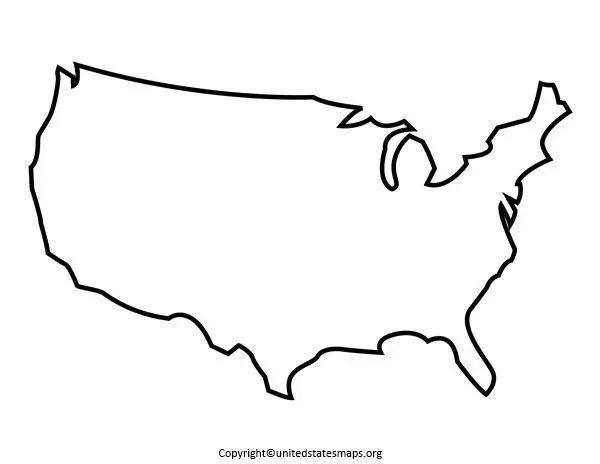
The Blank United States Outline Map can be downloaded and printed and be used by the teacher. Without the state and capital name, the outline map can be useful for students doing research and understanding the location of the state and capital how they are spelled. The combination of doing research and writing by students in the blank us map make them more familiar with the map.
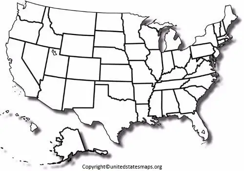
Blank US Map Outline
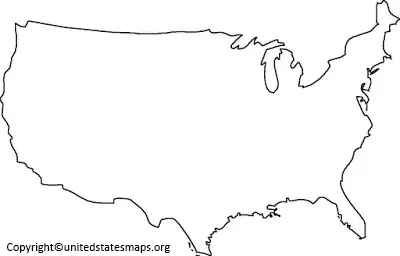
The Free Printable Blank US Map can be downloaded here and used for further reference. The blank maps are the best ways to explore the world countries and continents. Most of them include territories, mountain ranges, provinces, and other geographical factors. The best way to use them is to download and print and practice in a way that suits you best. Once we are aware of the states and capitals can also consider the smaller regions like mountains, rivers, lakes, and oceans.
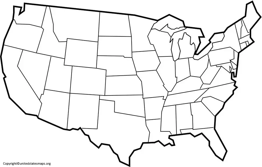
Blank Map of USA Worksheet
However, if you want to study and use geography in your life. We should start with the blank maps. These blank maps make it easy to understand the geographical and other states and provinces to determine on the map. Blank maps are helpful in learning and exploring the state on a better scale.
A Blank Map of the USA is a map that depicts the geographic outline of the United States without detailed labels, symbols, or additional information. It provides a simplified representation, making it versatile for a variety of uses, from educational purposes to creative projects.
Key Features of a Blank Map of the USA
1. National Boundaries
- Clearly defines the outer border of the United States.
- Includes the contiguous 48 states, Alaska, and Hawaii.
- Some maps may also show territories like Puerto Rico and Guam.
2. State Boundaries
- Outlines the 50 states without labels, allowing users to identify or fill in the state names.
- Borders follow geographic and political divisions, such as rivers or straight lines in the western states.
3. Major Water Bodies
- Oceans: Atlantic, Pacific, and Arctic oceans are outlined at the borders.
- Lakes: Includes major lakes like the Great Lakes (Superior, Michigan, Huron, Erie, and Ontario).
- Rivers: May show outlines of significant rivers, such as the Mississippi, Missouri, and Colorado rivers.
4. Geographical Features
- May include basic outlines of mountains (e.g., the Rocky Mountains and Appalachian Mountains) or deserts (e.g., the Mojave Desert).
- Some maps exclude geographical details for simplicity.
5. Regions or Zones (Optional)
- Some blank maps may segment the country into regions, such as Northeast, Midwest, South, and West, with only outlines to indicate these divisions.
Types of Blank Maps
1. Basic Outline Map
- Shows only the national and state boundaries with no additional details.
- Ideal for educational purposes like geography quizzes or coloring activities.
2. Political Blank Map
- Includes boundaries of states but excludes cities, capitals, or other political labels.
- Useful for teaching state identification or creating custom maps.
3. Physical Blank Map
- Focuses on natural features like mountains, rivers, and lakes.
- Does not include state or political boundaries.
4. Interactive Blank Map
- A digital version that allows users to add labels, markers, and other customizations.
- Often used in educational software or presentations.
5. Blank Grid Map
- Superimposes a grid over the map for coordinates or scale measurements.
- Helps in teaching map reading or plotting locations.
Applications of a Blank Map of the USA
1. Education
- Geography lessons: Students can label states, rivers, and regions.
- History classes: Mark historical events or territorial changes.
2. Travel and Tourism
- Plotting travel routes or marking visited states.
- Planning road trips or highlighting destinations.
3. Business and Marketing
- Identifying target markets or regions.
- Displaying sales or distribution data.
4. Creative Projects
- Coloring activities for children or artistic endeavors.
- Designing custom maps for books, presentations, or websites.
5. Data Visualization
- Used to display statistical data (e.g., population, income, climate zones) when combined with overlays or annotations.