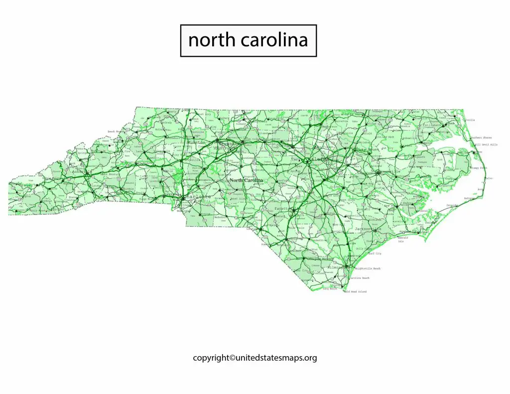
North Carolina Political Map: North Carolina is a state with a rich history and diverse population. As one of the swing states in recent presidential elections, North Carolina has become a crucial battleground for political parties. If you’re interested in exploring North Carolina’s political geography, our Political Map with Counties is an excellent resource. Featuring all the counties and major cities, our map provides a comprehensive view of North Carolina’s political landscape, making it easier for you to gain insights into the state’s political dynamics.
We have other related Political maps on our website:
North Carolina Political Map
North Carolina is a state located in the southeastern region of the United States, bordered by Virginia to the north, Tennessee to the west, Georgia to the south, and the Atlantic Ocean to the east. The state has a rich history and is home to a diverse population. Its political landscape has evolved over the years, and a North Carolina Political Map is a visual representation of this evolution.
The Political Map for North Carolina is a comprehensive representation of the state’s political landscape, highlighting the distribution of political power across the state. This map can help politicians, activists, and voters understand the political dynamics of the state and the factors that influence them.
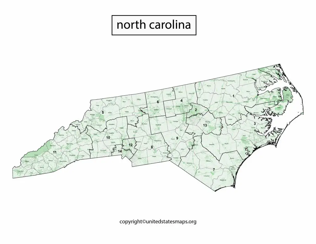
North Carolina has 13 congressional districts, each represented by a member of the United States House of Representatives. These districts redrawn every ten years following the decennial census. The North Carolina’s Political Map shows the current boundaries of these districts, as well as their political affiliations. The state is currently represented by eight Republicans and five Democrats in the U.S. House of Representatives.
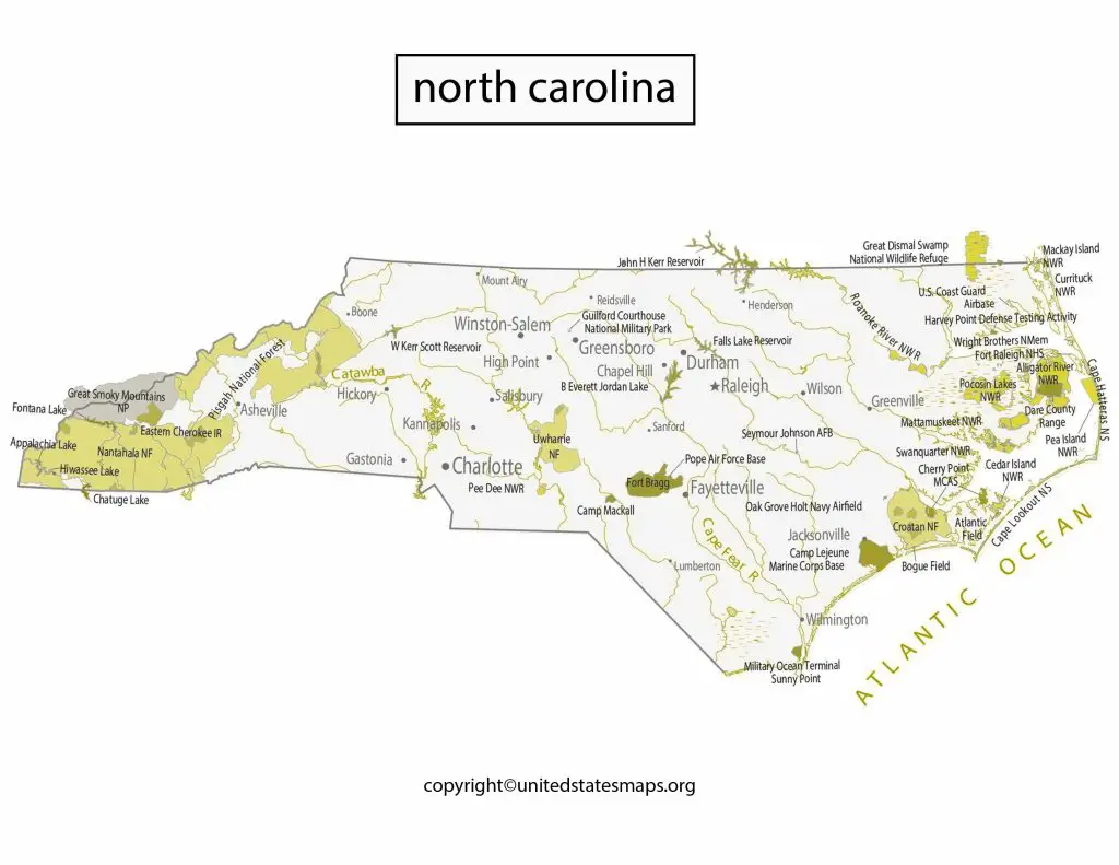
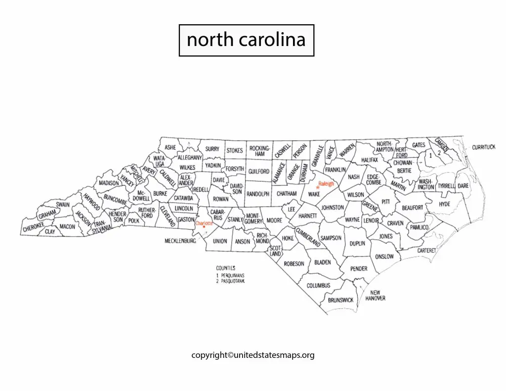
The North Carolina Political Map also shows the counties that make up the state. North Carolina has 100 counties, each with its own unique political landscape. And then the map can used to identify the counties that most likely to vote for a particular party or candidate. For example, the western part of the state tends to more conservative, while the eastern part of the state is more liberal.
Political Party Map of North Carolina
The Political Party Map of North Carolina is a visual representation of the state’s political landscape, highlighting the counties that tend to vote for either the Democratic or Republican party. The map can help politicians, activists, and voters understand the distribution of political power across the state and the factors that influence it.
North Carolina has a history of a battleground state, with both parties winning major elections in recent years. The Political Party Map of North Carolina shows that the eastern part of the state tends to vote for the Democratic party, while the western part of the state is more conservative and tends to vote for the Republican party. However, there exceptions to this trend, with some counties in the east and west switching sides in recent elections.
The Political Party Map of NC also shows that urban areas tend to vote for the Democratic party, while rural areas tend to vote for the Republican party. But this trend is seen in other parts of the United States as well and reflects the different priorities and concerns of urban and rural voters.
North Carolina Political County Map
The Political Map of North Carolina Counties is a visual representation of the state’s political landscape, highlighting the political affiliations of each county in the state. But this map can help politicians, activists, and voters understand the distribution of political power across the state and the factors that influence it.
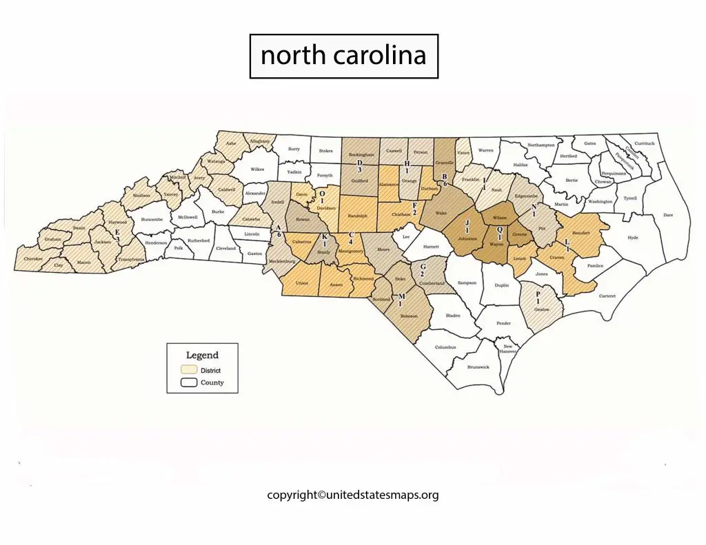
The North Carolina Political County Map is a visual representation of the state’s political landscape, highlighting the political affiliations of each county in the state. But this map is an important tool for understanding the distribution of political power across the state and the factors that influence it.
North Carolina has 100 counties, each with its own unique political landscape. And then the North Carolina Political County Map shows that the eastern part of the state tends to vote for the Democratic party, while the western part of the state is more conservative and tends to vote for the Republican party. However, there exceptions to this trend, with some counties in the east and west switching sides in recent elections.
The North Carolina Political County Map can used to identify the counties that most likely to vote for a particular party or candidate. But this information can used to target specific voter groups and develop targeted campaign strategies. For example, a candidate running for office in a county that tends to vote for the Republican party would focus on issues that resonate with conservative voters, such as gun rights and limited government.