Myrtle Beach Map: Myrtle Beach, located on the eastern coast of South Carolina, is a popular vacation destination known for its pristine beaches, vibrant nightlife, and family-friendly attractions. A Myrtle Beach map is an essential tool for visitors to navigate this bustling coastal city and explore all that it has to offer.
Myrtle Beach Map
When it comes to exploring Myrtle Beach, having access to detailed maps is essential. Myrtle Beach maps provide valuable information about the city’s layout, attractions, roads, and other points of interest, allowing visitors to make the most of their time in this bustling coastal destination.

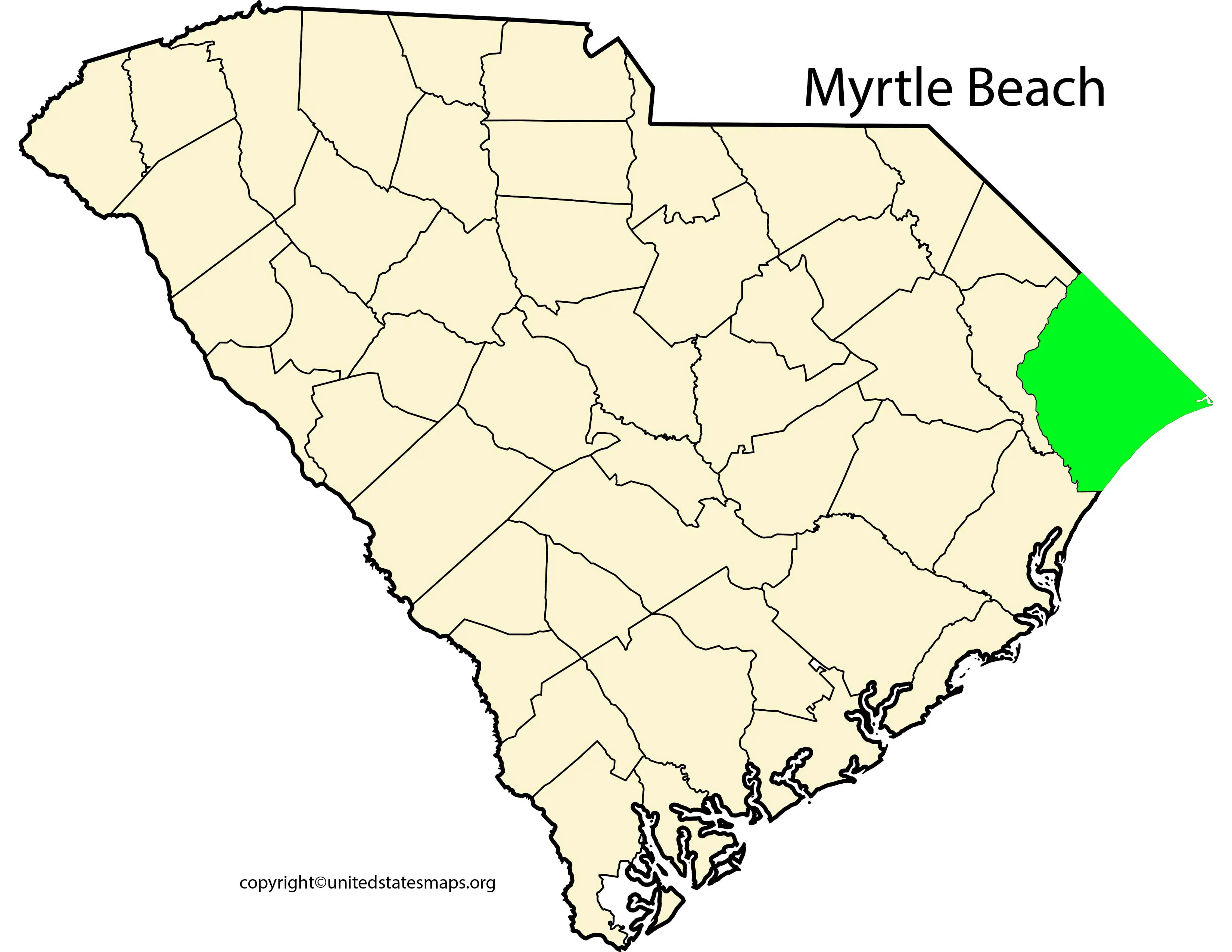
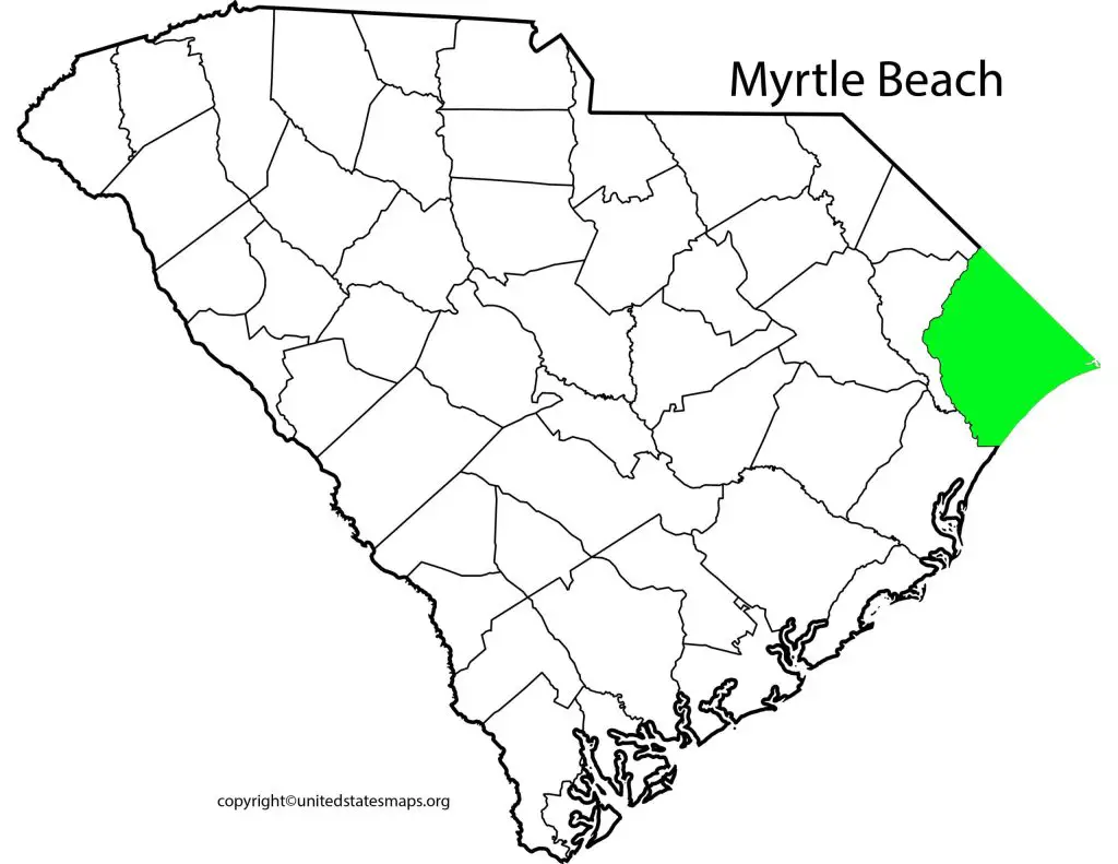
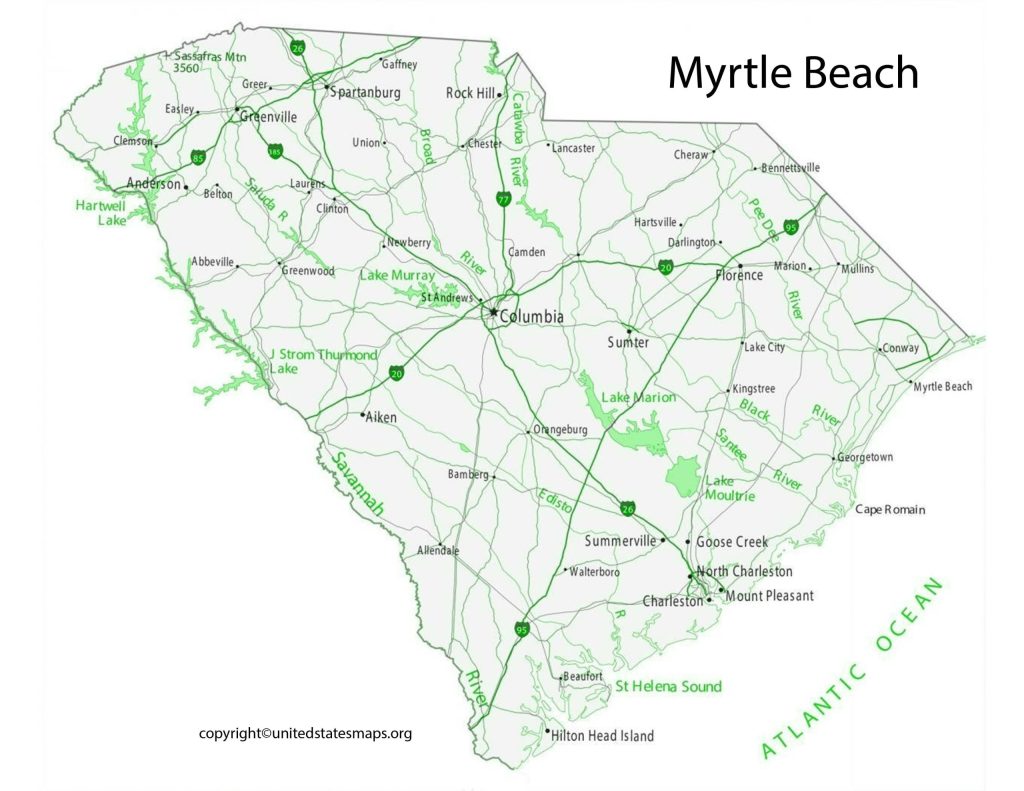
The Myrtle Beach map showcases the layout of the city, highlighting key landmarks, roads, and points of interest. One can easily locate the main beach areas, such as North Myrtle Beach, Surfside Beach, and Garden City Beach, which stretch along the Grand Strand—the 60-mile stretch of sandy coastline that attracts millions of visitors each year. Check out other Beach map:- Florida Beaches Map.
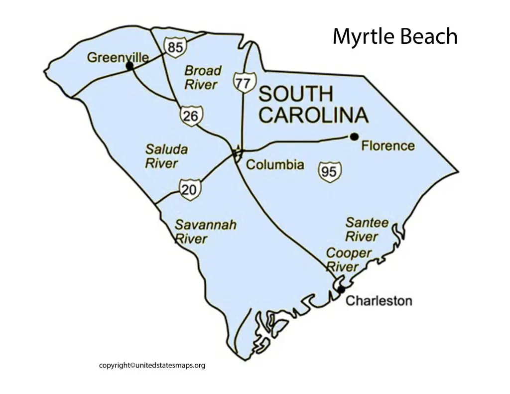
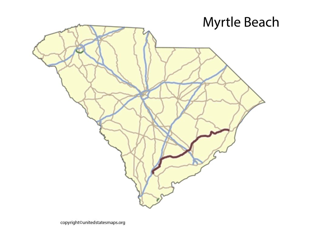
The map of Myrtle Beach also features important transportation hubs, including the Myrtle Beach International Airport, which serves as the main gateway for visitors arriving by air. It also includes major highways and roads that connect Myrtle Beach to neighboring cities and states, allowing travelers to plan their routes efficiently.
Whether you’re looking for a specific hotel or want to explore the natural beauty of the region, the Myrtle Beach map provides valuable information about public parks, nature preserves, and scenic spots like the Myrtle Beach State Park and Huntington Beach State Park. These areas offer opportunities for hiking, picnicking, birdwatching, and wildlife viewing.
Map of Myrtle Beach
In addition to the beaches, the Myrtle Beach South Carolina map points out significant attractions within the state. For example, visitors can explore historic Charleston, known for its charming architecture and rich history, or visit the beautiful city of Columbia, the state’s capital. The map helps travelers plan day trips or extended stays in these nearby cities, enhancing their overall South Carolina experience.
A map of Myrtle Beach is an indispensable resource for anyone planning a trip to this popular coastal city in South Carolina. Whether you’re a first-time visitor or a frequent traveler to Myrtle Beach, having a comprehensive map will help you navigate the city with ease and maximize your enjoyment of the area.
The map of Myrtle Beach provides a detailed overview of the city’s layout, allowing you to identify key areas and landmarks. It highlights the beautiful coastline known as the Grand Strand, which encompasses numerous beach communities, including Myrtle Beach, North Myrtle Beach, Surfside Beach, and Garden City Beach.
In addition to the beaches, the map showcases the various attractions and entertainment options available in Myrtle Beach. From amusement parks and water parks to golf courses and live entertainment venues, there’s something for everyone. The map will help you locate popular destinations such as Broadway at the Beach, where you can shop, dine, and enjoy exciting nightlife, or the Myrtle Beach Boardwalk, which offers a lively atmosphere with arcades, souvenir shops, and restaurants.
Myrtle Beach Boardwalk Map
When visiting Myrtle Beach, finding convenient and accessible parking is crucial, especially during the peak tourist season. A Myrtle Beach public parking map is an essential resource that helps visitors locate parking areas, understand parking regulations, and ensure a hassle-free experience.
The Myrtle Beach Boardwalk is a vibrant and iconic attraction that stretches for 1.2 miles along the stunning coastline of Myrtle Beach, South Carolina. To fully experience everything the boardwalk has to offer, it’s helpful to have a detailed map that highlights its key features and points of interest.
The Myrtle Beach Boardwalk map outlines the entire boardwalk area, showcasing the various sections and landmarks along its route. It starts at 14th Avenue North and extends southward to 2nd Avenue North, offering visitors a scenic stroll along the Atlantic Ocean.
The map provides a clear layout of the boardwalk, including its wooden promenade, which is perfect for walking, biking, or rollerblading. And then the boardwalk is lined with numerous attractions, shops, restaurants, and entertainment venues, and the map helps visitors easily locate their desired destinations.
One popular landmark along the boardwalk is the SkyWheel, a towering Ferris wheel that offers breathtaking views of the ocean and the city. But the map highlights its exact location, making it easy for visitors to find this iconic attraction and enjoy a ride high above the beach.