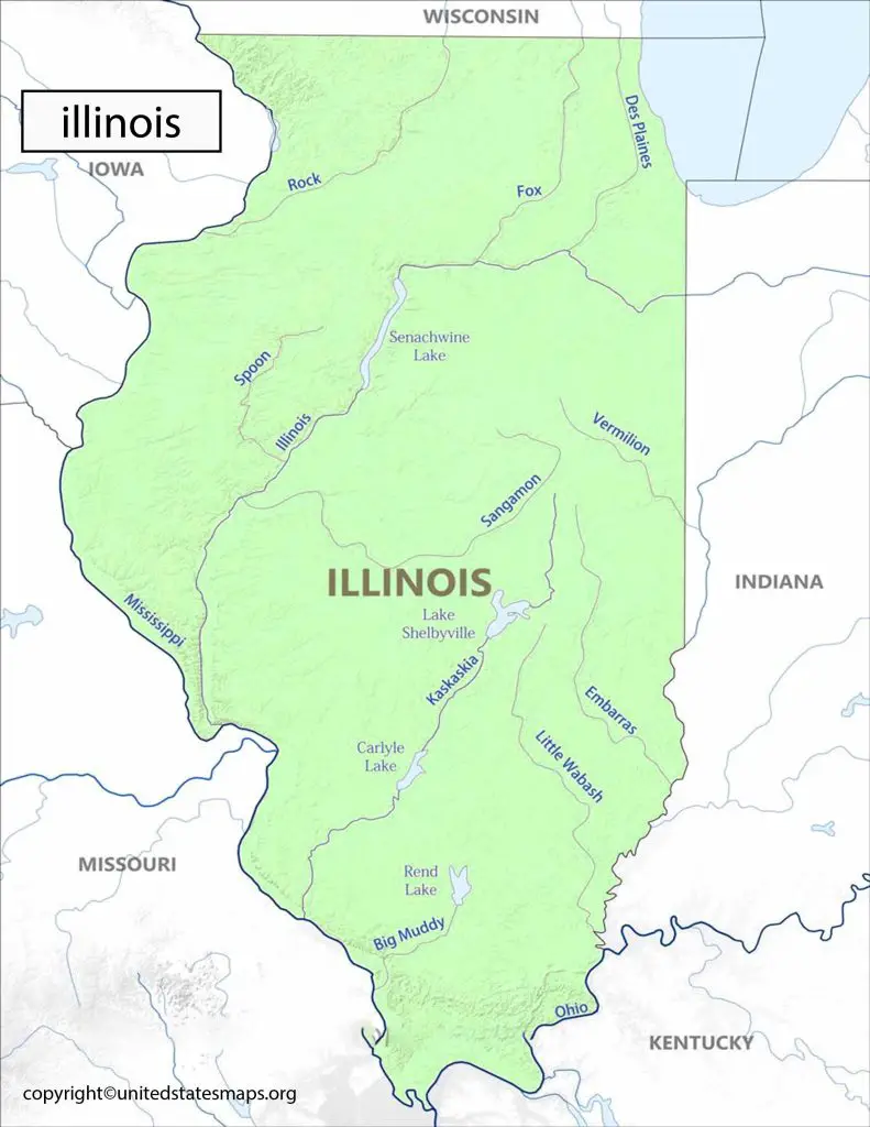
The Illinois Political Map is an essential tool for anyone interested in understanding the politics of the Land of Lincoln. This detailed map highlights state and federal electoral districts, including congressional and state legislative boundaries. With this map, you can explore the state’s complex political landscape and gain a deeper understanding of Illinois’ political history.
We have other related Political maps on our website:
Illinois Political Map
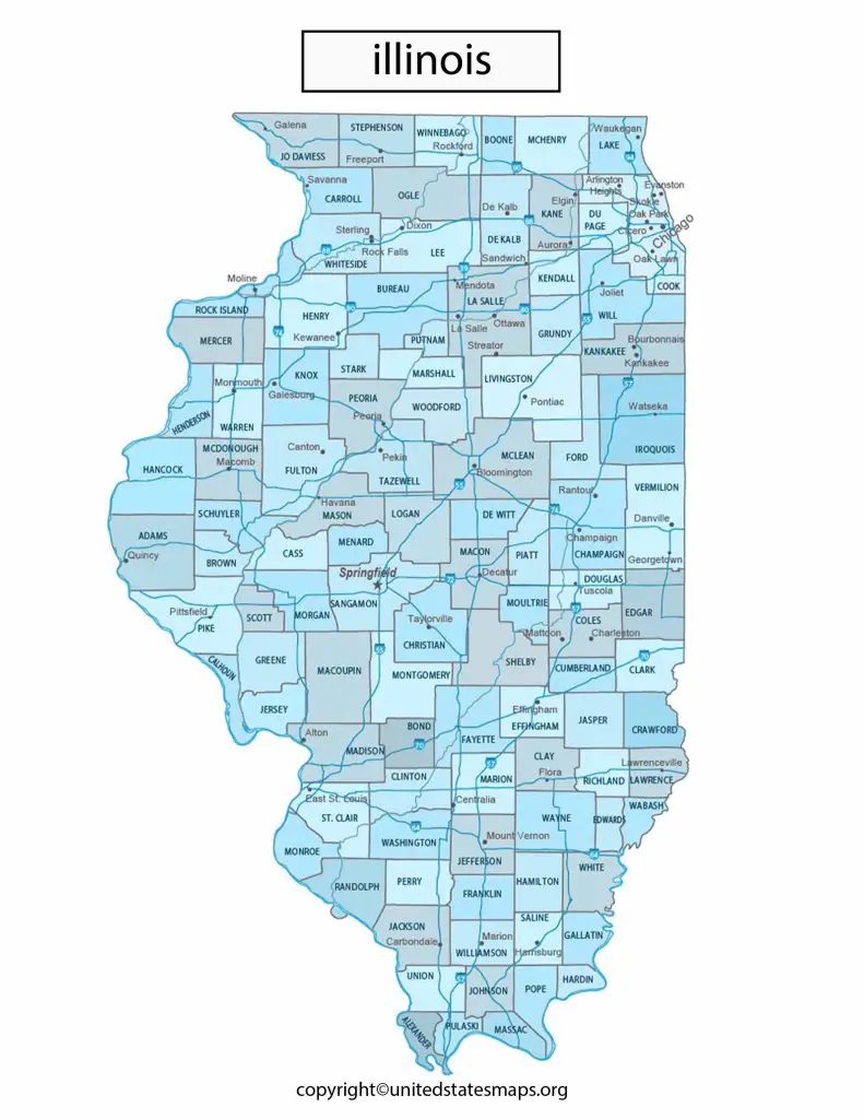
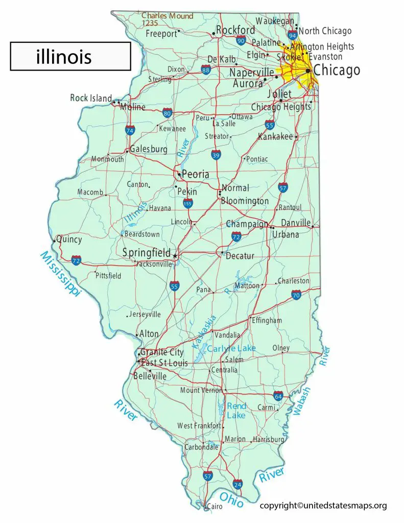
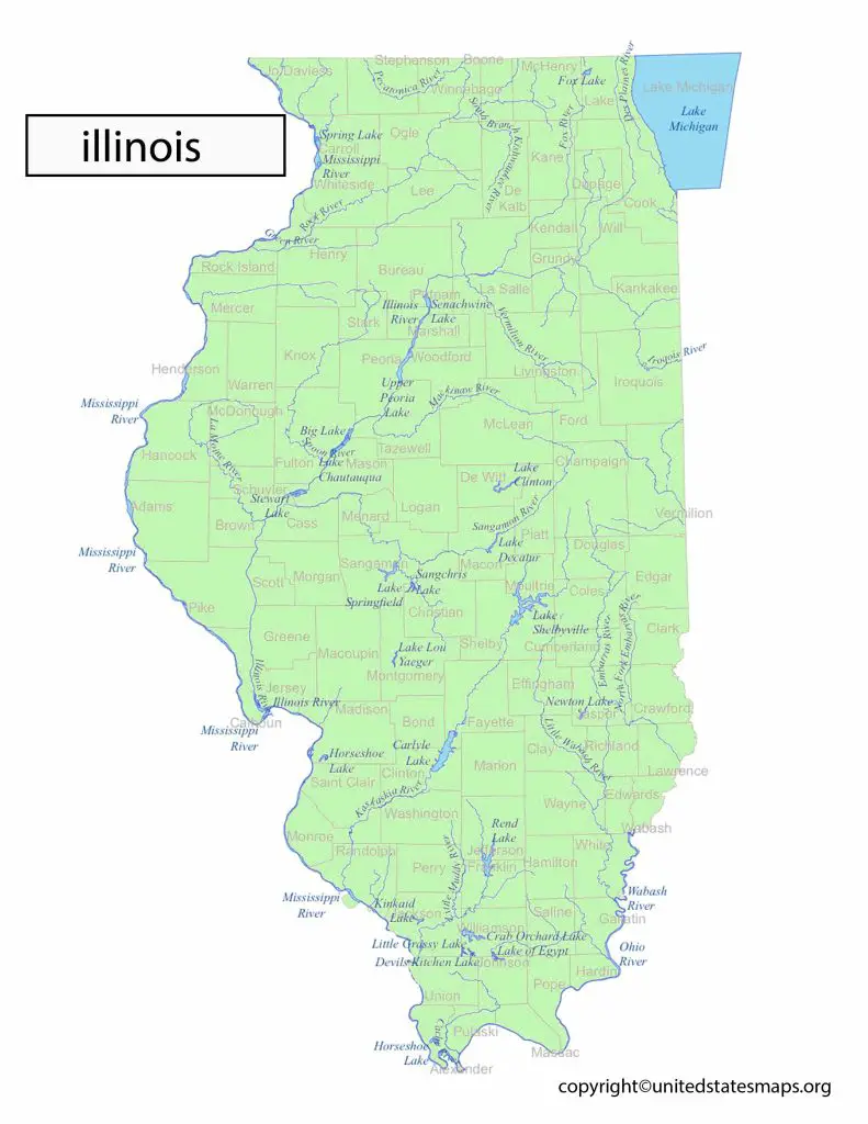
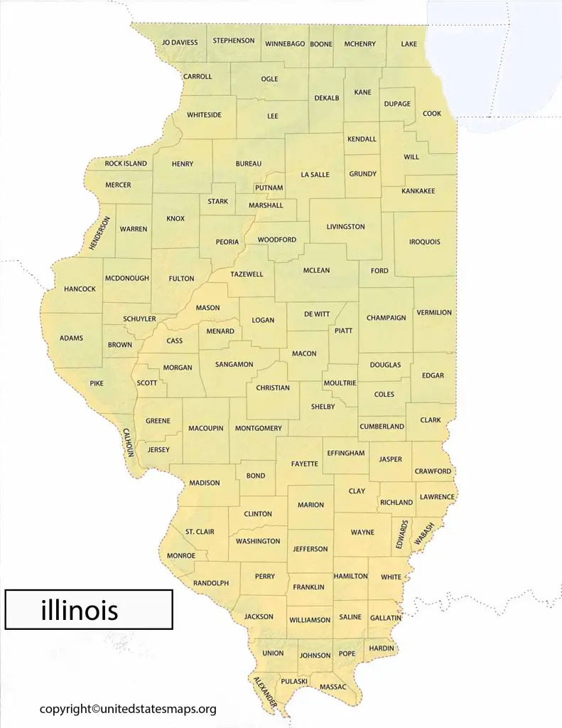
The state of Illinois, located in the Midwestern region of the United States, has a rich political history. The Illinois Political Map depicts the state’s political subdivisions, including its 102 counties, and the location of the state’s two major cities, Chicago and Springfield. The state’s political landscape diverse and dynamic, with a mix of urban and rural areas and a range of political ideologies.
The Illinois Congressional District Map shows the boundaries of the state’s 18 congressional districts, as well as the location of important landmarks and other geographic features. But this map useful for political campaigns, advocacy groups, and lobbying organizations seeking to understand the political geography of the state and to develop targeted outreach and advocacy strategies.
The Illinois Political Party Map displays the current political composition of the state, including the number of Democratic and Republican elected officials at the state, county, and local levels. The map also shows the location of party headquarters and other key political organizations in the state.
Political Map of Illinois
When it comes to politics, Illinois has been historically known for being a blue state. In fact, since 1992 presidential elections, Illinois has voted for Democratic candidates every single time. This trend can seen at various levels of government too; currently both U.S Senators from Illinois are Democrats and out of its eighteen seats in Congress (U.S House Representatives) thirteen are occupied by Democrats whereas five are held by Republicans.
The Illinois Political Demographics Map provides a detailed analysis of the state’s population by race, ethnicity, age, gender, and other demographic factors. This map particularly useful for political campaigns and advocacy groups seeking to target specific demographic groups for voter outreach and engagement efforts.
The Political Map of Illinois a comprehensive representation of the state’s political geography. It shows the boundaries of the state’s 18 congressional districts, its 59 state senate districts, and its 118 state house districts. The map also displays the locations of the state’s major cities, counties, and important landmarks.
Illinois Political District Map
Illinois borders Wisconsin to the north, Indiana to the east, Kentucky to the southeast, Missouri to the west and Iowa to the northwest. The capital of Illinois Springfield and its largest city Chicago. With a population of over 12 million people, Illinois ranked as the sixth most populated state in America.
The Illinois County Map by Political Party displays the political affiliation of each of the state’s 102 counties, including the number of registered Democratic and Republican voters, as well as other third-party affiliations. But this map useful for political campaigns seeking to understand the political makeup of individual counties and to develop targeted voter outreach and engagement strategies.
The Illinois Political District Map shows the state’s political subdivisions at a more detailed level, including the boundaries of the state’s congressional districts, state senate districts, and state house districts. But this map useful for political campaigns, lobbying organizations, and advocacy groups seeking to understand the political geography of the state.
