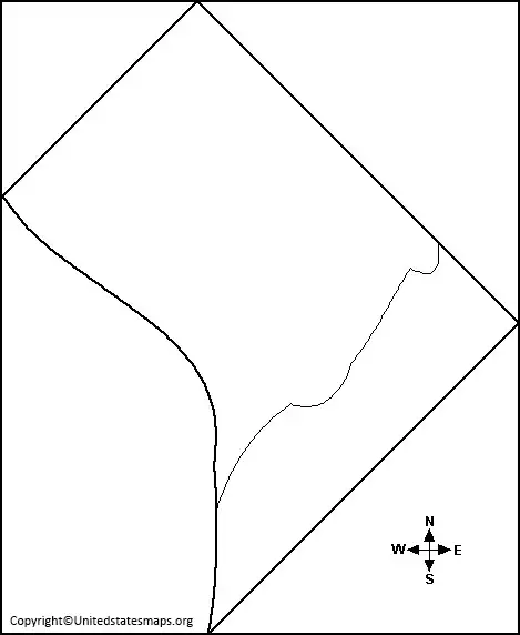
A blank District of Columbia map is a geographical representation of the District of Columbia without any markings or labels. The map usually includes the boundaries of the District of Columbia, its major landmarks, and water bodies. This type of map is useful for different purposes, such as educational, research, or personal projects. The blank map provides a clean canvas for people to create their own personalized maps, add their own markings, or use it for various educational purposes.
Check our other related blank maps:
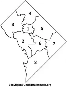
Blank District Of Columbia Map
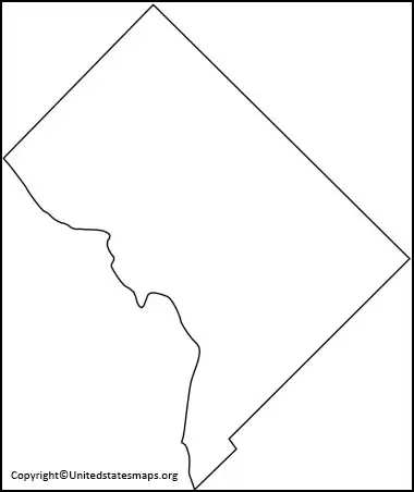
A District of Columbia map outline is a simple black and white representation of the District of Columbia with the region’s boundaries, major streets, and other landmarks drawn in outline form. This type of map is particularly useful for people who want to create their own maps, plot out locations of interest, or study the geography and history of the region. The map outline provides a simple representation of the District of Columbia and allows people to add their own colors, markings, or labels.
A blank District of Columbia map is a useful tool for those who are looking to explore the area or study its geography. This type of map makes it easy to find and label important landmarks, roads, and other features of Washington D.C. Without the distraction of labels and markings, the user can focus on creating an accurate representation of the city with their own information.
The District of Columbia blank map is also a great resource for residents and visitors alike who want to discover more about the district’s history, culture, and attractions. It can be used as a guidebook in exploring various neighborhoods and attractions within Washington D.C., including popular tourist spots like The National Mall or U Street Corridor. With this map as a reference point, people will have no trouble finding their way around the city while planning out their activities or preparing for an upcoming trip.
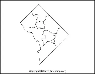
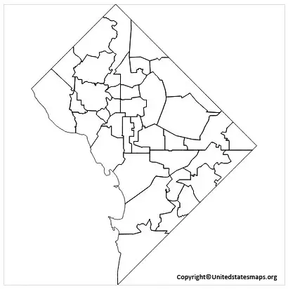
Blank Map of District of Columbia
A District of Columbia map worksheet is a learning tool used by teachers to teach students about the geography, culture, and history of the District of Columbia. The worksheet usually includes a blank map of the District of Columbia and questions about the region’s geography, landmarks, and history.
Students are required to fill in the blanks, mark out locations of interest, and answer questions about the region. The worksheet is an excellent way to test students’ knowledge and reinforce their understanding of the region. It is also a fun and interactive way to teach students about the District of Columbia. A blank map of District of Columbia is an image of the District of Columbia without any labels, markings, or colors. It typically includes the District of Columbia’s boundaries, major streets, rivers, and other landmarks.
This type of map is particularly useful for educational purposes, research projects, and personal use. A blank map of District of Columbia can be used to teach students about the geography, history, and culture of the region. And then it can also be used to plot locations of interest, mark out specific areas, and more.
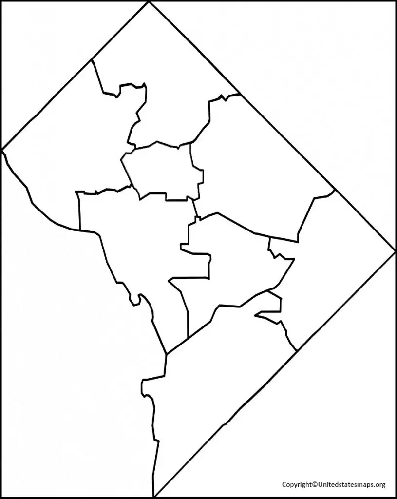
District of Columbia Map Blank
Maps of the District of Columbia are important for both residents and visitors. But having a map that is blank allows people to create their own custom layout, labeling each area in whatever way they desire. But this can be especially helpful when trying to create an easily understood guide for tourists or newcomers to the District of Columbia.
A district of Columbia maps blank is available online through a variety of websites. But most versions feature all the major landmarks, roads and points of interest so users can add their own labels as needed. The maps come with different levels of detail and varying sizes, making it easy to find one suited for any given purpose. Additionally, these blanks are often free or low-cost so anyone can access them without breaking their budget.
A District of Columbia map blank is a map of the District of Columbia with blank spaces for people to add their own labels, marks, or colors. This type of map is particularly useful for people who want to create their own personalized maps, plot out their own locations, or create unique maps for research purposes. The map usually includes the major landmarks, water bodies, and boundaries of the District of Columbia. a blank map of the District of Columbia is also an excellent educational tool for teachers to help students learn about the geography, culture, and history of the region.