Arizona County Map: Arizona is a vast and diverse state known for its striking landscapes, rich culture, and vibrant cities. A great way to explore Arizona by looking at a county map of the state. This article provides an overview of the county map of Arizona with cities, so readers can get a better understanding of this beautiful region. Each county highlighted along with its major cities, allowing you to quickly identify important features on the map.
Check out our other County Maps:
Arizona County Map
Located in the southwestern United States, Arizona is bounded to the northwest by Nevada, to the west by California, to the north by Utah, to the east by New Mexico, and to the south by Mexico. Arizona is made up of 15 counties, each with its own history, culture, and terrain. Then there’s a map of Arizona’s counties, which is a great way to learn about the state’s political and administrative divisions.
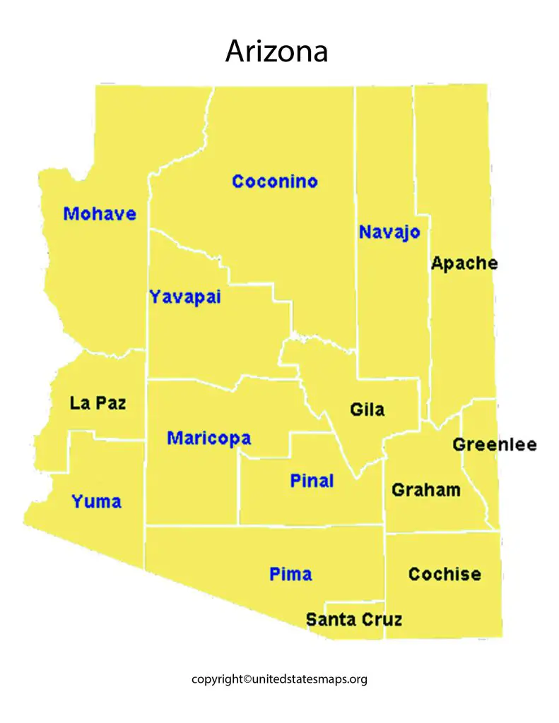
The Arizona County Map shows the location of each of the state’s counties, including Apache, Cochise, Coconino, Gila, Graham, Greenlee, La Paz, Maricopa, Mohave, Navajo, Pima, Pinal, Santa Cruz, Yavapai, and Yuma. The map color-coded to highlight the different counties and their boundaries, making it easy to identify each county and its neighboring counties.
The Arizona County Map with Cities is an excellent resource for students, researchers, and anyone interested in learning more about the state’s political and administrative structure. It provides a comprehensive overview of Arizona’s county-level data and statistics, making it an essential tool for policymakers and government officials as well. Additionally, it can used as a guide for travelers and tourists who want to explore the state’s many cultural and natural attractions.
But the map includes a legend that helps users identify the different symbols used to represent cities, towns, and other points of interest. It also shows the state’s major interstate highways and other important roads, making it an excellent resource for planning road trips and other travel itineraries.
Map of Arizona Counties
Arizona, a state located in the southwestern region of the United States. Known for its scenic landscapes, deserts, canyons, and national parks. The state of Arizona has 15 counties that situated across a total area of around 113,998 square miles. A Counties in Arizona map showcasing these counties an essential resource for anyone looking to navigate through this beautiful state.

The vastness of Arizona makes it imperative to have a map highlighting all its different counties. Such a map would make it easier for residents and tourists alike to understand how each county differs from one another in terms of geography and demographics. Counties in Arizona have their unique cultures, traditions, festivals and cuisines that should explored by visitors who want to experience the true essence of the state.
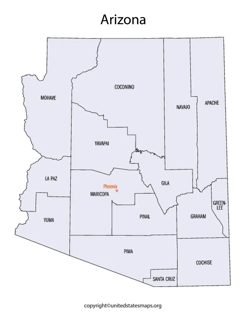
The Map of Arizona Counties a comprehensive guide to the political and administrative divisions of the state. It shows the locations and boundaries of all 15 counties and their respective county seats. The map also provides detailed information about the geography and topography of each county, including mountains, rivers, lakes, and other notable features.
The Map of Arizona Counties an essential tool for anyone interested in learning more about the state. It particularly useful for travelers and tourists who want to explore Arizona’s many attractions and natural wonders.
Arizona Map by County
Arizona a vast state with diverse landscapes, from deserts to mountains and everything in between. To navigate this beautiful state efficiently, it essential to have an accurate county map of Arizona. A county map of Arizona shows all the counties and major cities in the state, making it easy for visitors and locals alike to find their way around.
The county map of Arizona particularly helpful for those who want to explore the state’s natural beauty. But with so many national parks and forests in Arizona, challenging to know which one to visit first. The county map helps you plan your trip by showing you where each park or forest located within the state. Additionally, if you interested in outdoor activities such as hiking or camping, a county map will help you locate trails and campsites near your destination.
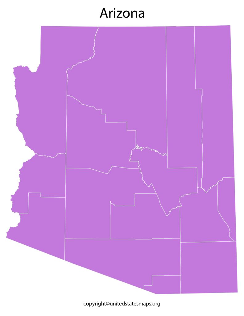
The Arizona Map with Counties a comprehensive map that shows the boundaries and locations of all 15 counties in the state. But the map color-coded to highlight each county and its neighboring counties, making it easy to distinguish between them.
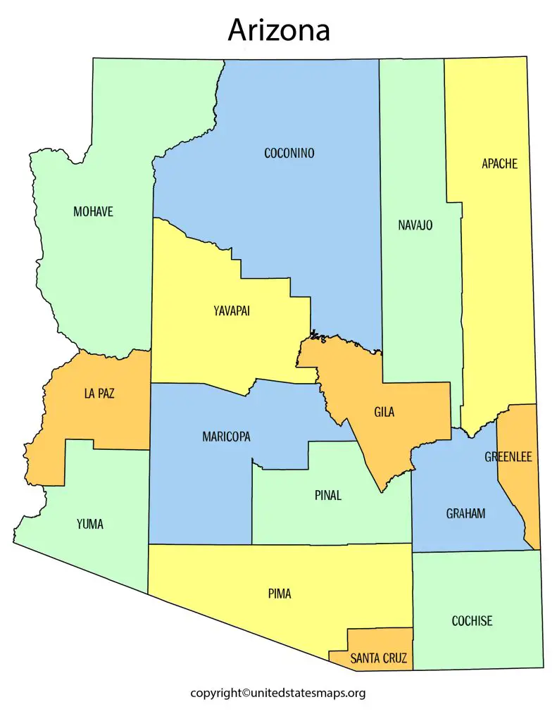
The Arizona Map with Counties also provides information about the state’s major highways and roads, as well as the locations of major cities and towns. It an essential tool for anyone who wants to navigate the state’s diverse terrain and explore its many attractions and natural wonders.