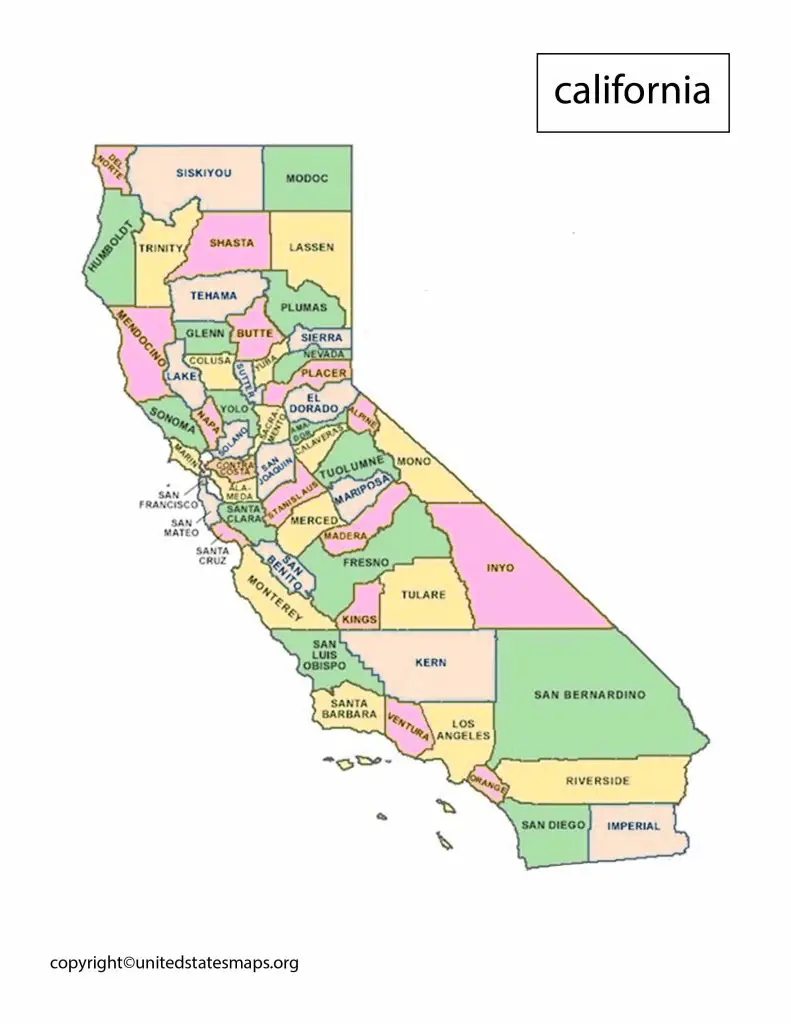
California Political Map: California is the most populous state in the United States and has always a political trendsetter. From social policies to environmental regulations, California often sets the tone for national politics. Our Political Map of California USA provides a comprehensive view of the state’s political landscape. Featuring all the major cities and regions, our map makes it easier for you to explore and analyze California’s political dynamics.
We have other related Political maps on our website:
California Political Map
A map of California by political party provides a clear visual representation of the state’s political landscape. But this map shows the geographic distribution of political support for each party, including the Democratic Party, Republican Party, and third-party candidates.
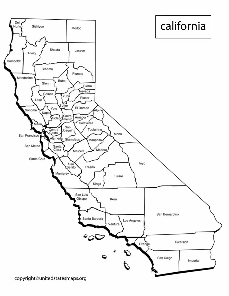
A political map of California is a detailed representation of the state’s political boundaries, showing the various cities, counties, and other administrative divisions. But this map is an essential tool for politicians, policy makers, and activists as it provides a visual guide to the political landscape of California.
California is one of the most populous states in the United States, with a diverse population and a complex political system. The state has a unique mix of urban and rural areas, and its political map reflects this diversity. California’s political map is divided into 58 counties, each with its own set of elected officials and representatives.
The California Political Map also highlights the state’s congressional districts, which divided into 53 seats. These districts play a crucial role in determining the state’s representation in the US House of Representatives. California’s political map is constantly changing, as the state’s population grows and shifts.
Political Map of California USA
California, one of the largest and most populous states in the United States, with a rich cultural heritage and a diverse economy. The state known for its vibrant tech industry, beautiful natural scenery, and progressive politics.
A California in World Political Map that includes California provides a global perspective on the state’s political and economic importance. California a major player in the global economy, with strong ties to both Asia and Europe. The state home to some of the world’s largest tech companies, including Apple, Google, and Facebook.
California is a large and diverse state, with a complex political system. The state divided into 58 counties, which further divided into several cities, towns, and other administrative divisions. The Political Map of California USA shows the boundaries of each of these counties and cities, as well as the location of the state’s congressional districts.
California has 53 congressional districts, each of which has its own representative in the US House of Representatives. The political map of California USA also shows the boundaries of the state’s legislative districts, which responsible for electing members of the state Senate and Assembly.
California Map by Political Party
A California political district map is a detailed representation of the state’s congressional and legislative districts. But the map shows the boundaries of each district, as well as the location of major cities and towns within the district.
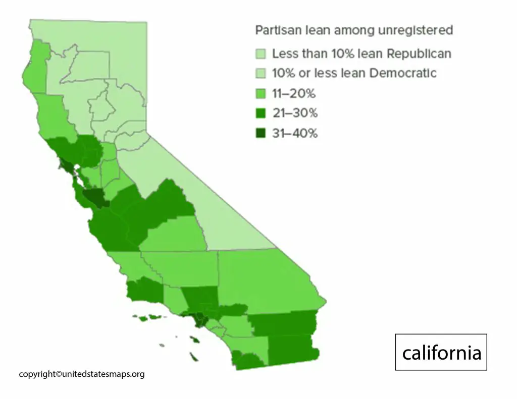
A map of California by political party provides a visual representation of the state’s political leanings. California is known for its progressive politics, and the state has traditionally a stronghold for the Democratic Party. However, the state has a large and diverse population, and its political landscape constantly changing.
A map of California by political party can show the geographic distribution of political support for each party, as well as the political divide between urban and rural areas. And then the map can also highlight the swing districts and regions where the political landscape more evenly balanced.
The most recent elections in California showed a strong Democratic Party support in most urban areas, while many rural areas leaned towards the Republican Party. However, the map also shows a growing trend of independent voters and third-party support.
