Discover the heartland of America with our detailed Wisconsin County Map. From the rolling hills of the Driftless Area to the urban centers of Milwaukee and Madison, Wisconsin is a state full of charm and character. With our interactive map, you can explore the counties of Wisconsin and discover the unique culture and landscape of each region.
Wisconsin County Map
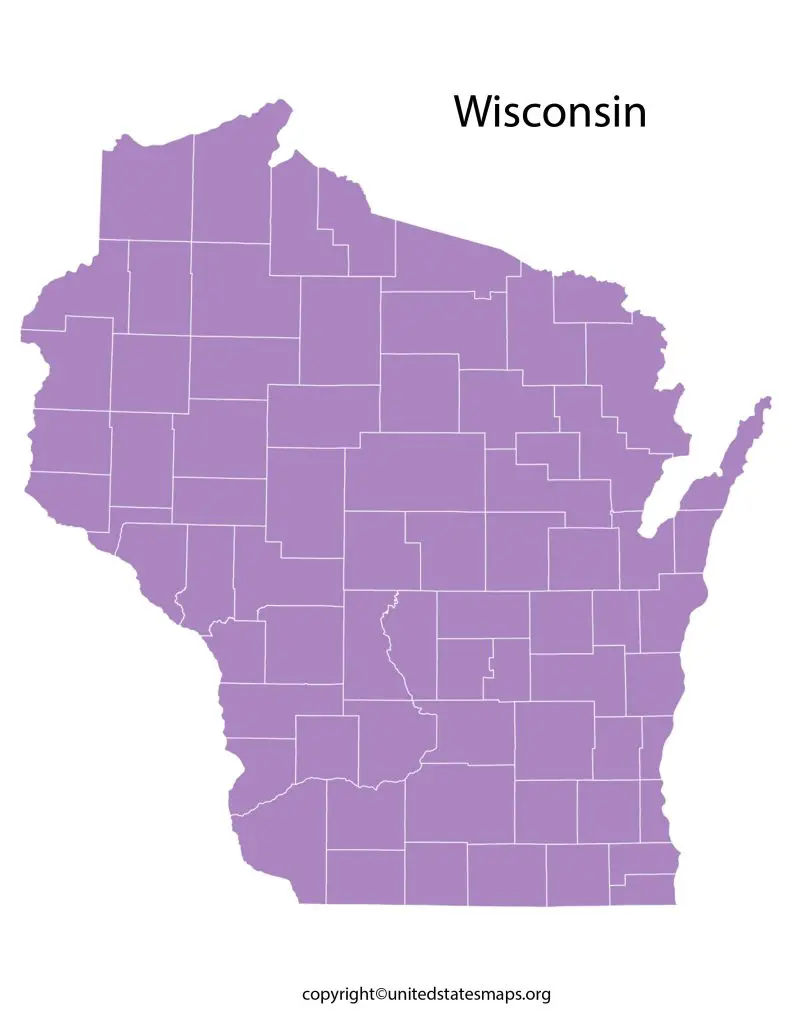
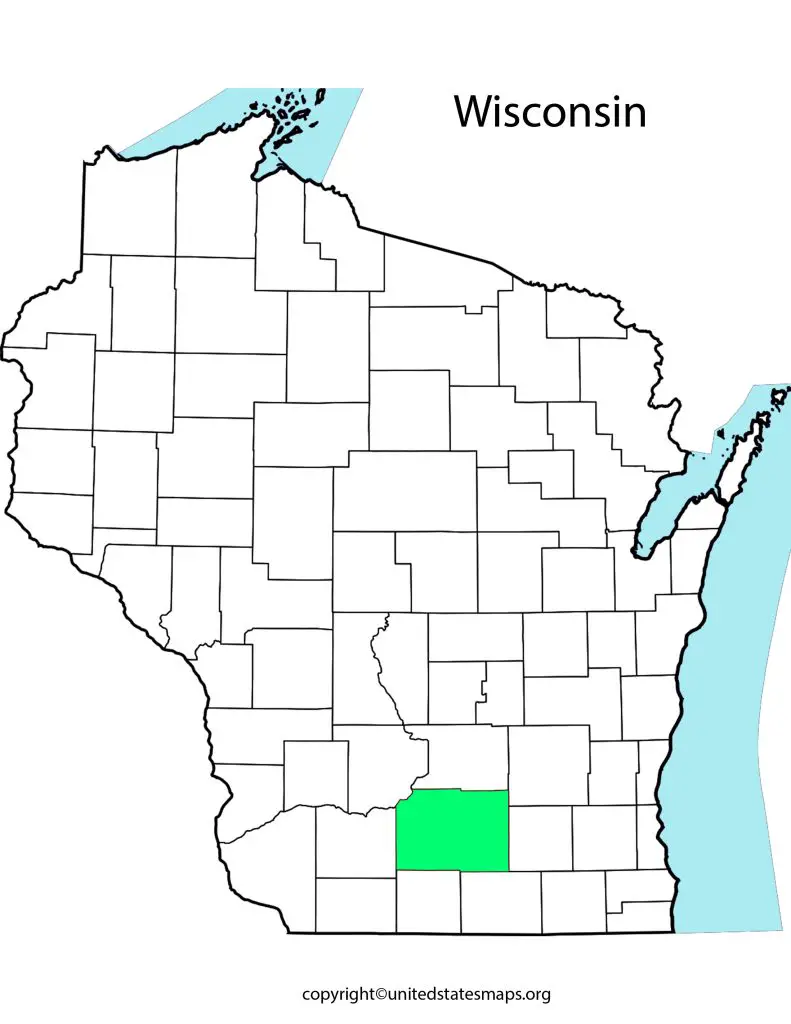
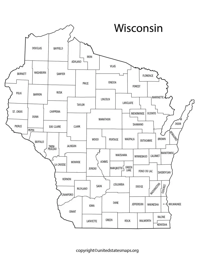
Wisconsin, a state located in the midwestern region of the United States, divided into 72 counties. A Wisconsin county map a useful tool for understanding the geography of the state, as it shows the boundaries and locations of each of the counties. Counties in Wisconsin named after a variety of people, places, and things, including Native American tribes, explorers, and Wisconsin cities. Each county has its own unique culture, history, and geography, which makes Wisconsin a diverse and fascinating place to explore.
In addition to showing the county boundaries, a Wisconsin county map may also include information about major highways, cities, rivers, and lakes. This information useful for planning trips or understanding the local geography. For example, if you planning a fishing trip in Wisconsin, you may want to consult a Wisconsin county map to see which counties have the best fishing spots. Other Wisconsin maps include:- Blank Wisconsin Map.
One of the main advantages of a county and city map of Wisconsin that it can help you plan your trip better. Whether you interested in exploring the state’s natural beauty or visiting its vibrant cities, a map of Wisconsin counties and cities can help you identify the counties you will travel through and the major urban and rural areas located in each one. This can help you plan your route and make the most of your time in Wisconsin.
Overall, a Wisconsin county map an essential tool for anyone interested in exploring this beautiful state. Whether you a resident of Wisconsin or a visitor, a county map can help you navigate the state’s diverse geography and discover its many hidden treasures.
County Map of Wisconsin
A map of Wisconsin counties a visual representation of the state’s 72 counties. The map can include various information such as county boundaries, major cities, highways, rivers, and lakes. A map of Wisconsin counties is useful for several purposes such as planning a trip, conducting research, or simply getting a better understanding of the state’s geography.
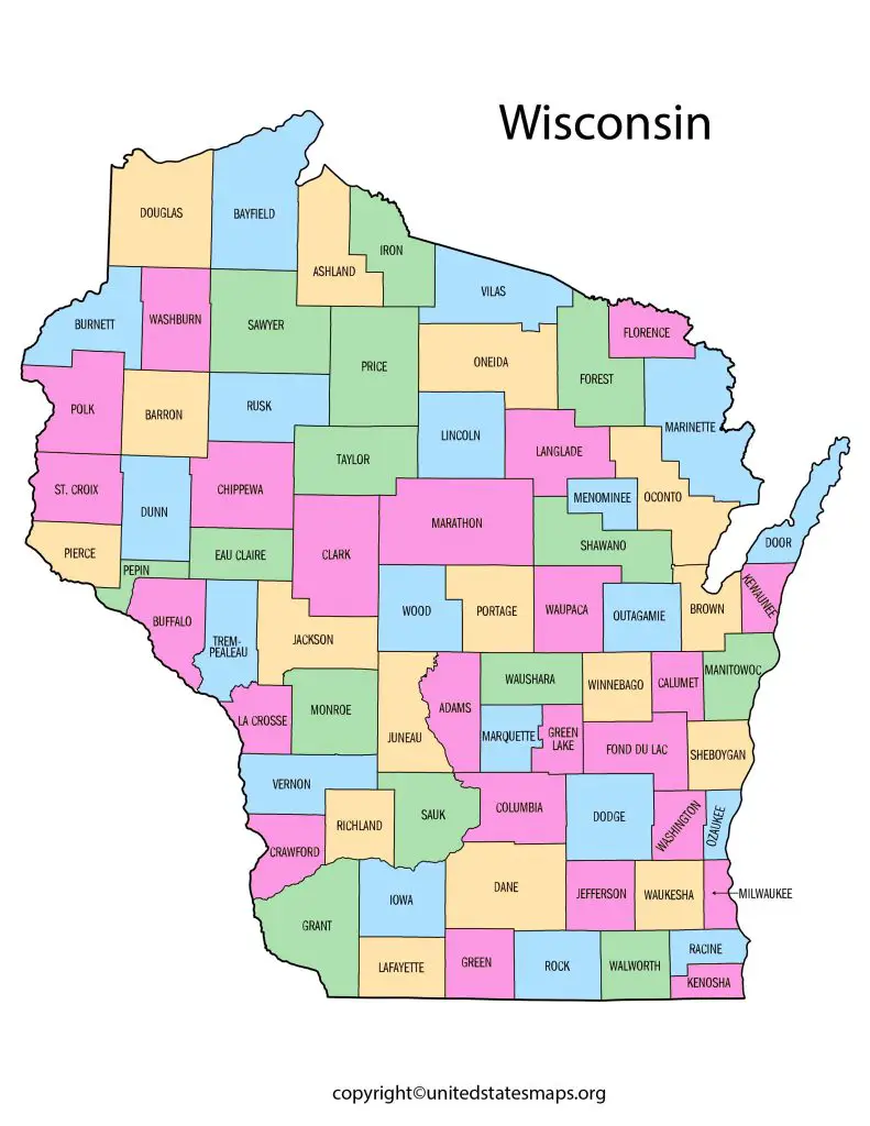
One of the key advantages of a county map of Wisconsin that it allows you to see the state’s diverse geography at a glance. Wisconsin known for its rolling hills, deep forests, and many lakes and rivers, and a county map can help you understand how these features distributed throughout the state. For example, you may able to see which counties have the most forests or which counties located near the Great Lakes.
A county map of Wisconsin can also useful for planning trips. If you interested in visiting a particular part of the state, you can use the map to identify the counties you will traveling through and the major cities and attractions located in each one. This can help you plan your route and make the most of your time in Wisconsin.
Overall, a county map of Wisconsin a valuable tool for anyone interested in exploring this diverse and fascinating state. Whether a resident or a visitor, a county map can help you navigate Wisconsin’s unique geography and discover its many hidden treasures.
Map of Counties in Wisconsin
A Wisconsin counties map a detailed visual representation of the 72 counties in the state of Wisconsin. The map can include various information such as county boundaries, major cities, highways, rivers, and lakes. A Wisconsin counties map useful for several purposes such as planning a trip, conducting research, or simply getting a better understanding of the state’s geography.
One of the key advantages of a map of counties in Wisconsin that it allows you to see the state’s diverse geography at a glance. Wisconsin known for its rolling hills, deep forests, and many lakes and rivers, and a county map can help you understand how these features distributed throughout the state. For example, you may able to see which counties have the most forests or which counties located near the Great Lakes.
A map of counties in Wisconsin can also useful for planning trips. If you interested in visiting a particular part of the state, you can use the map to identify the counties you will traveling through and the major cities and attractions located in each one. This can help you plan your route and make the most of your time in Wisconsin.
Another benefit of a Wisconsin county map with cities that it can help you understand the demographics of the state. Each county in Wisconsin has its own unique population and culture, and a map of counties can help you see how these factors vary throughout the state. For example, you may able to see which counties have higher or lower populations, or which counties have a higher percentage of a particular ethnic group.