Texas Political Map: Texas is the second-largest state in the United States and has always been a political powerhouse. With its vast size and diverse population, Texas has a unique political landscape that often influences national politics. Our Map of Texas County by Political Party offers a comprehensive view of the state’s political dynamics. From the red counties in rural areas to the blue counties in urban centers, our map gives you an in-depth look at Texas’s political leanings.
We have other related Political maps on our website:
Texas Political Map
A Texas Political Boundaries Map shows the boundaries of the state’s congressional districts, state senate and assembly districts, and local government boundaries. The map helps politicians and voters understand the distribution of political power across the state, and helps them develop targeted political strategies based on the needs and concerns of different regions of the state.

The political boundaries map of Texas is particularly important during elections and redistricting, as it helps politicians and voters understand the impact of boundary changes on the distribution of political power across the state. It is also useful for understanding the needs and concerns of different regions of the state, and for developing targeted political strategies.
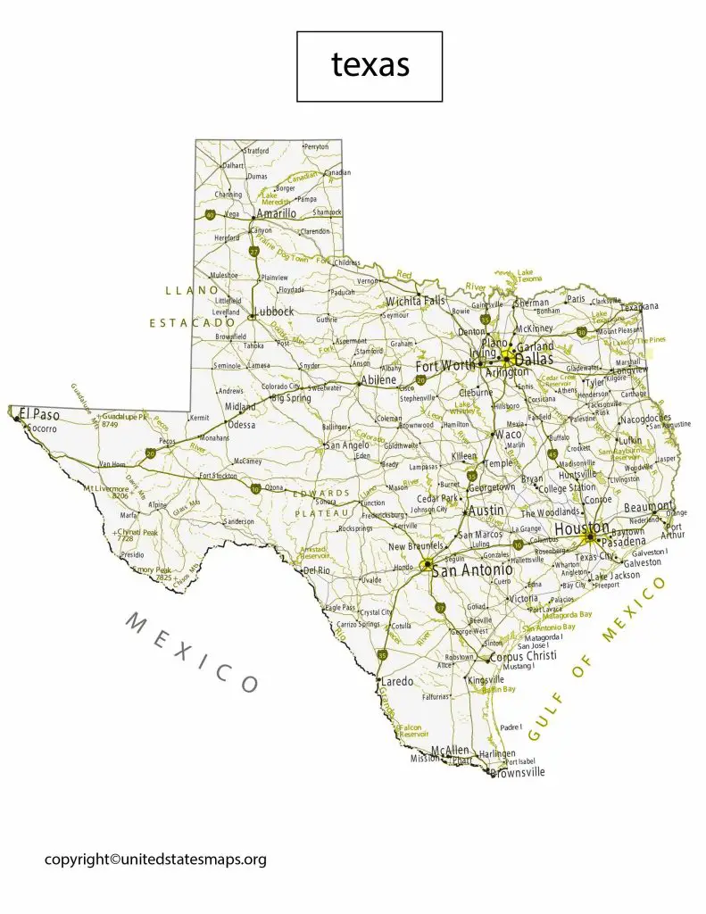
A political map of Texas shows the boundaries of the state’s counties and the locations of major cities, rivers, and other geographic features. The map also shows the political boundaries of the state, such as congressional districts, state senate and assembly districts, and local government boundaries. Texas is known for its rich history and diverse culture, and its political map reflects this diversity. The state has a long history of political power struggles between Democrats and Republicans, and this rivalry continues to this day.
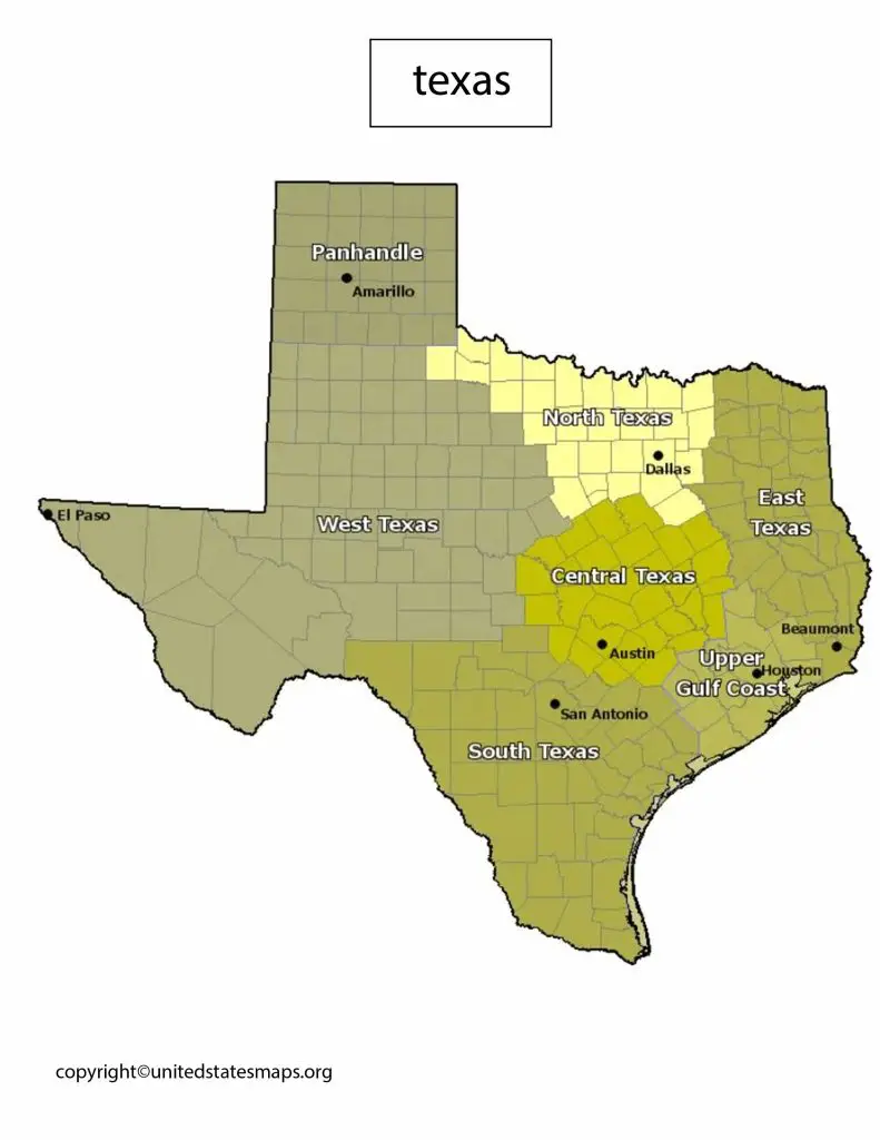
The state’s political landscape has been changing rapidly over the past few years, with the growth of urban centers like Houston and Austin, and the changing demographics of the state. As a result, the political map of Texas is becoming increasingly diverse, with a mix of urban and rural areas, and a range of political ideologies represented.
Map of Texas Counties by Political Party
An Texas Election District Map shows the boundaries of the state’s voting districts, including precincts and polling places. The map helps voters understand where they are eligible to vote, and helps election officials manage the voting process more effectively.
The election district map of Texas is particularly important during elections, as it helps voters understand where they can vote and what candidates are running in their district. It is also useful for understanding the impact of redistricting on the distribution of political power across the state.
Texas is a politically divided state, with a mix of Democratic and Republican counties. The map of Texas counties by political party shows the distribution of political power across the state. The Republican Party dominates the state’s rural areas, while the Democratic Party has a strong presence in urban areas like Houston and Dallas.
The map also shows the distribution of independent and third-party voters, who often play a crucial role in close elections. Overall, the political map of Texas counties reflects the state’s complex political landscape, with a mix of conservative and liberal ideologies represented across the state.
Texas County Political Map
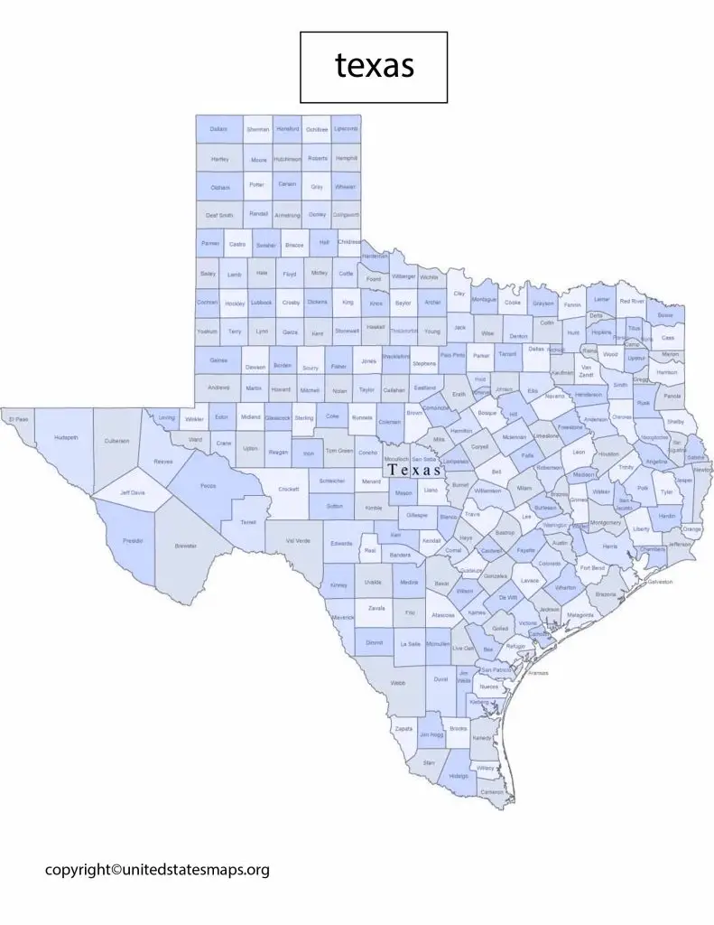
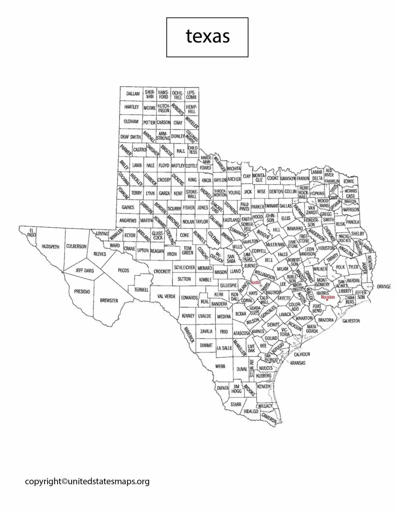
A county political map of Texas shows the political boundaries of the state’s counties, as well as the distribution of political power across the state. The map shows the counties that are dominated by the Republican Party, the Democratic Party, and independent and third-party voters. It also shows the locations of major cities and towns, as well as important geographic features like rivers and lakes.
A Texas Political District Map shows the boundaries of the state’s congressional districts, state senate and assembly districts, and local government boundaries. The map shows the distribution of political power across the state, and helps politicians and voters understand the needs and concerns of different regions of the state.
The county political map of Texas is an important tool for politicians and voters, as it helps them understand the distribution of political power across the state. It is also useful for understanding the needs and concerns of different regions of the state, and for developing targeted political strategies.
The political district map of Texas is particularly important during elections, as it helps candidates develop targeted political strategies based on the needs and concerns of different regions of the state. It is also useful for understanding the impact of redistricting on the distribution of political power across the state.