Idaho Political Map: Idaho is a state with a unique blend of rural charm and modern culture. With its vast natural resources and diverse population, Idaho has become an essential part of the United States’ political landscape. Our Political Map of Idaho Counties provides a comprehensive view of the state’s political geography. From the red counties in rural areas to the blue counties in urban centers, our map gives you an in-depth look at Idaho’s political leanings.
We have other related Political maps on our website:
Idaho Political Map
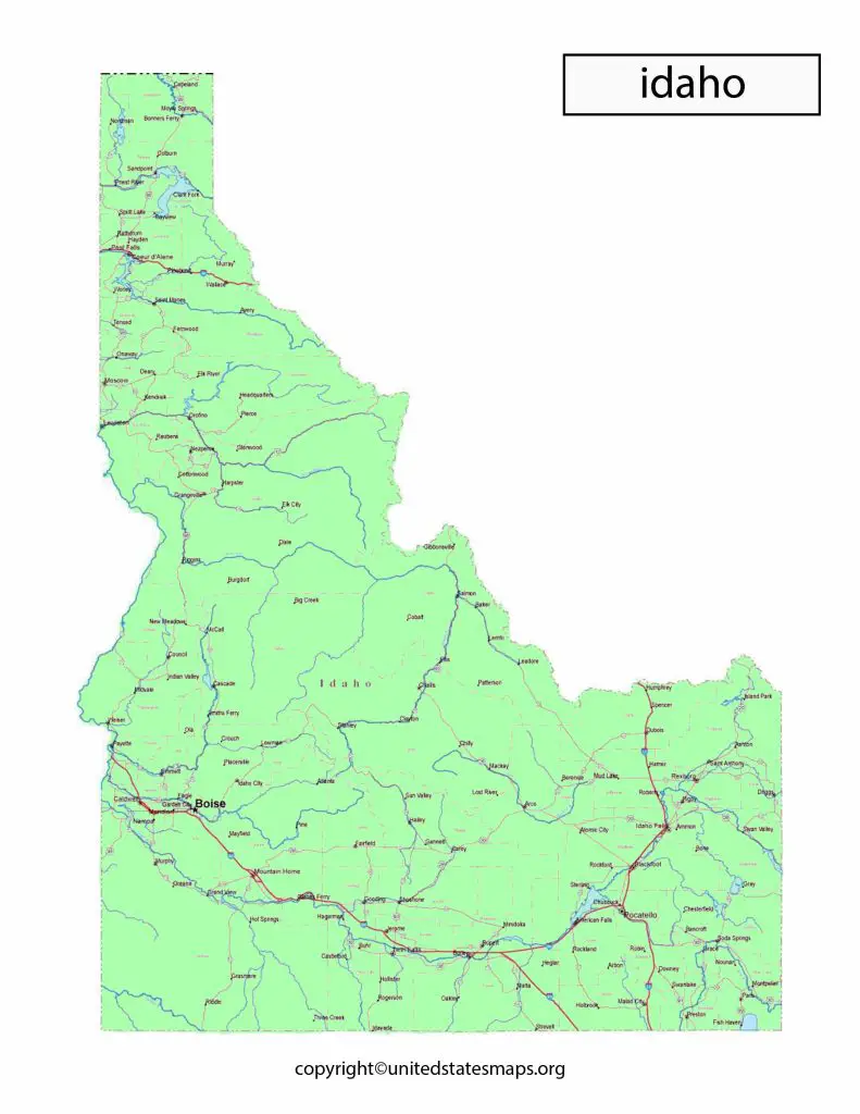
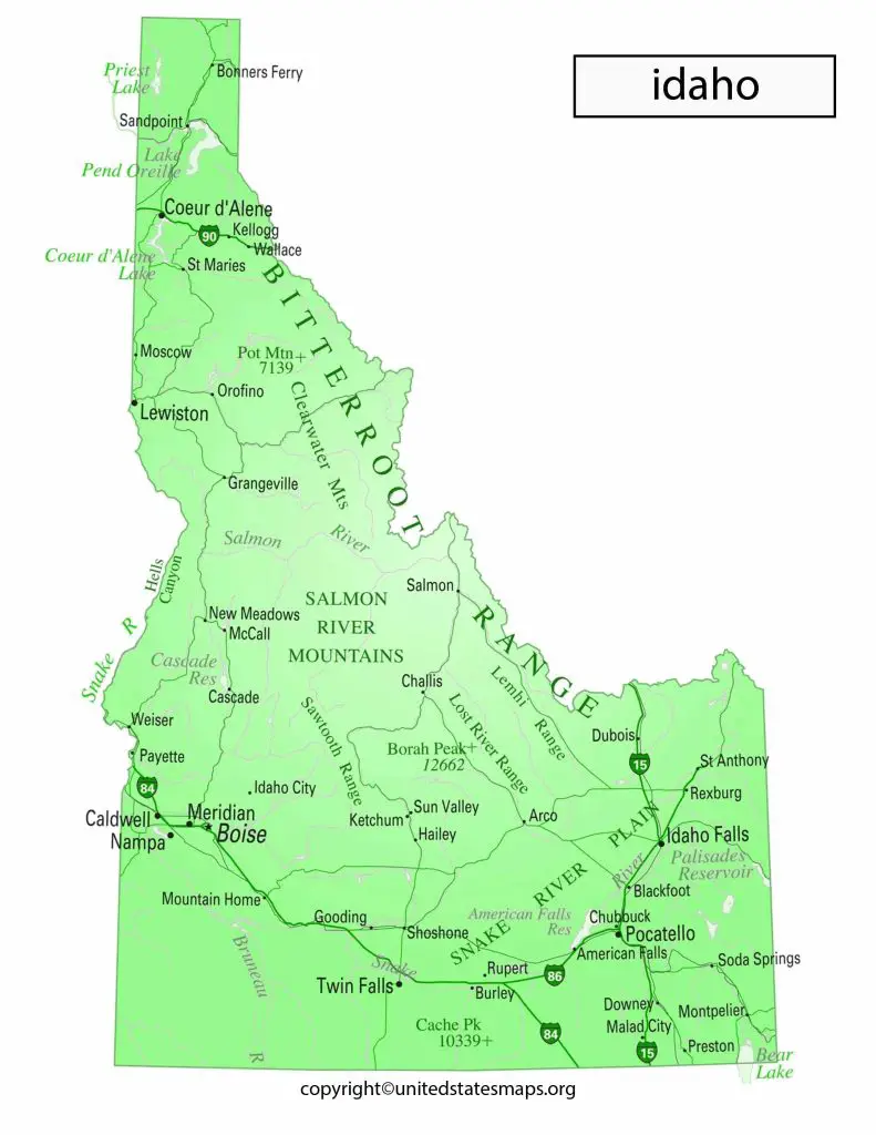
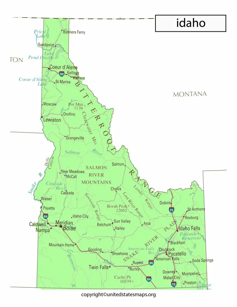
Idaho is located in the Pacific Northwest region of the United States and known for its rugged landscapes, including mountains, forests, and vast stretches of farmland. Political Map of Idaho divided into two congressional districts, with the 1st congressional district covering the western part of the state, and the 2nd congressional district covering the eastern part of the state. Idaho’s capital city, Boise, located in the southwestern part of the state, and the largest city in Idaho.
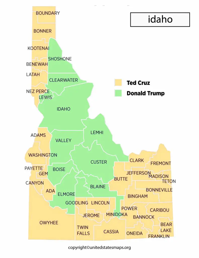
Idaho’s county map reflects the state’s diverse political makeup, with some counties strongly conservative and others more liberal. Some of the most conservative counties in Idaho include Franklin County, Madison County, and Bonneville County, all of which located in the eastern part of the state. These counties tend to vote overwhelmingly for Republican candidates in statewide elections.
In contrast, some of the more liberal counties in Idaho include Ada County, Blaine County, and Latah County. These counties tend to more politically diverse and have a higher concentration of Democrats and Independents.
Overall, Idaho’s Idaho Political County Map reflects the state’s unique political landscape, which dominated by conservative values and a strong Republican Party presence, but also includes pockets of liberal and independent voters, particularly in urban areas.
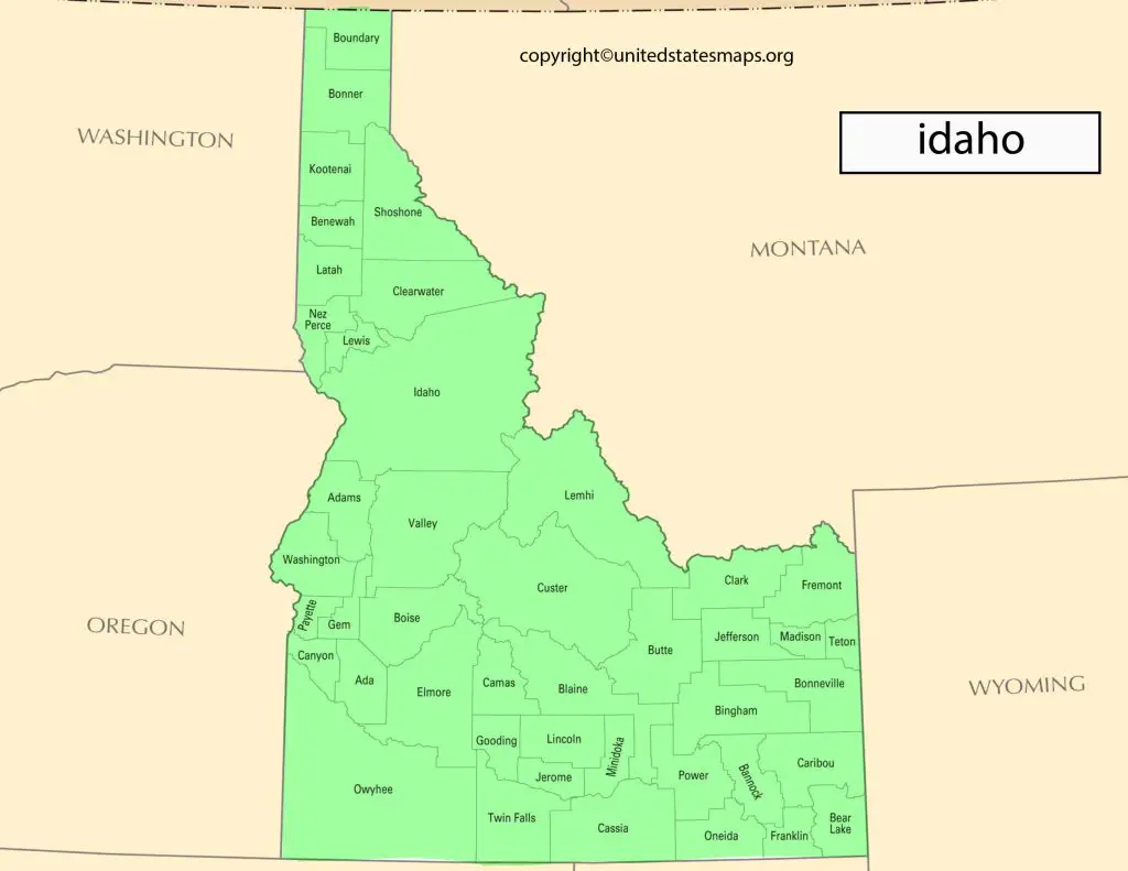
Political Map of Idaho Counties
Idaho divided into 44 counties, each with its own unique political landscape. The Idaho Political Party Map reflects the state’s diverse political makeup, with some counties strongly conservative, while others more liberal.
Idaho a predominantly Republican state, with the Republican Party holding a majority of political power at both the state and federal levels. However, there still significant numbers of Democrats and Independents in the state, particularly in urban areas like Boise and Coeur d’Alene.
These districts redrawn in 2011 to reflect changes in population over the past decade. They based on several factors including population density, geography, and communities of interest. The legislative districts further divided into precincts which used for voting purposes.
The Idaho Political District Map has important implications for elections and representation at both state and federal levels. It determines who can vote for whom and where candidates must campaign to win elections.
Some of the most conservative counties in Idaho include Franklin County, Madison County, and Bonneville County, all of which located in the eastern part of the state. These counties tend to vote overwhelmingly for Republican candidates in statewide elections.
In contrast, some of the more liberal counties in Idaho include Ada County, Blaine County, and Latah County. These counties tend to more politically diverse and have a higher concentration of Democrats and Independents.
Idaho Political District Map
Idaho a predominantly conservative state, with Republican candidates winning most statewide elections in recent years. And then the state has a reputation for a stronghold of conservative values, with many residents strongly opposed to liberal policies and politicians.
Idaho a state known for its diverse landscape, from the mountains and valleys of the Rocky Mountains to the vast plains of the Snake River Plain. But it’s not just the geography that makes Idaho unique – it’s also its political district map. But the state divided into two congressional districts, represented by four members in Congress, and 35 legislative districts.
Idaho divided into two congressional districts, with the 1st district covering the western part of the state, including Boise, and the 2nd district covering the eastern part of the state, including Coeur d’Alene.
The 1st congressional district currently represented by Republican Russ Fulcher. While the 2nd congressional district represented by Republican Mike Simpson. Both districts have a majority of Republican voters and tend to vote for conservative candidates in statewide elections.
The Republican Party has dominant in Idaho for many years, with Republican candidates winning most statewide elections in recent years. However, there has some recent movement towards more moderate and independent candidates, particularly in urban areas, as younger and more diverse voters become a larger percentage of the electorate.